Research & Article by Dimosthenis Seitaridis
Cover photo by Dimosthenis Seitaridis
Edited by Harrys Pourouzidis
At Pixelscape, we love challenges, but we love surprises too. So we decided to photographically discover the neighbour who, until only a few years ago, went unnamed, and with whom we are obliged to learn to coexist harmoniously, with peaceful coexistence, economic growth, and the improvement of the standard of living of both peoples as our common ground.
Precious years were lost for all of us because of our neighbours’ historically unfounded obsession with stealing our history. Now, however, North Macedonia — for that is now its constitutional name — stands in the antechamber of the European Union and is a member of NATO. Who among us, truly, could have imagined only a few years ago that Greek wings would be responsible for the control and protection of North Macedonia’s airspace? At first, with mixed feelings — some of us are still trying to digest the Prespa Agreement — we decided to capture with our lenses this familiar yet unfamiliar neighbour.
Although North Macedonia is easily accessible from every direction, it remains one of the last countries in Europe not yet discovered by photographers. We travelled throughout the whole southern part of the country, entering through all three border crossings — Niki, Evzoni, and Doirani — and recorded with our lenses a very interesting country, one that represents the particular character of the Balkans. It contains a fascinating combination of Greek, Albanian, Turkish, and Mediterranean influences. It is a mixture of mountains, lakes, and rivers, important historical finds, and traditional settlements that have remained unchanged through the depths of the centuries.
The history of the region reaches back to antiquity, beginning with the kingdom of Paeonia, a Thracian state. At the end of the sixth century BC, the region was incorporated into the Achaemenid Persian Empire and was later conquered by the Greek kingdom of Macedonia in the fourth century BC. The Romans took the region in the second century BC and incorporated it into the much larger province of Macedonia, which remained part of the Byzantine, or Eastern Roman, Empire. From the sixth century AD onwards, it was frequently raided and settled by Slavic peoples. After centuries of conflict between the Byzantine and Bulgarian Empires, it gradually passed into Ottoman rule from the fourteenth century.
Ohrid
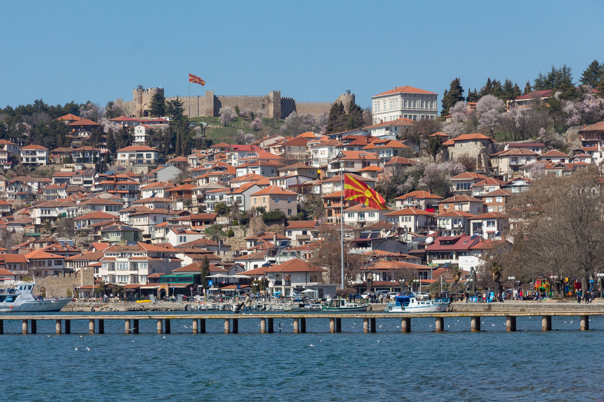
Ohrid is the largest city on Lake Ohrid.
The earliest inhabitants of the wider Lake Ohrid region were the Dassaretae, an ancient Greek tribe, and the Enchelei, an Illyrian tribe. According to recent excavations, it was already a city in the time of King Philip II of Macedonia.
In antiquity, the city was known by the ancient Greek name Lychnidos or Lychnis, and later by the Latin Lychnidus. The name probably means “city of light,” from the Greek lychnis, a precious stone that emits light, itself derived from lychnos, meaning lamp or portable light.
By AD 879, the city was no longer called Lychnidos and was referred to by the Slavs as Ohrid, probably from the Slavic words vo hrid, meaning “on the hill,” since the ancient city of Lychnidos stood on the hilltop.
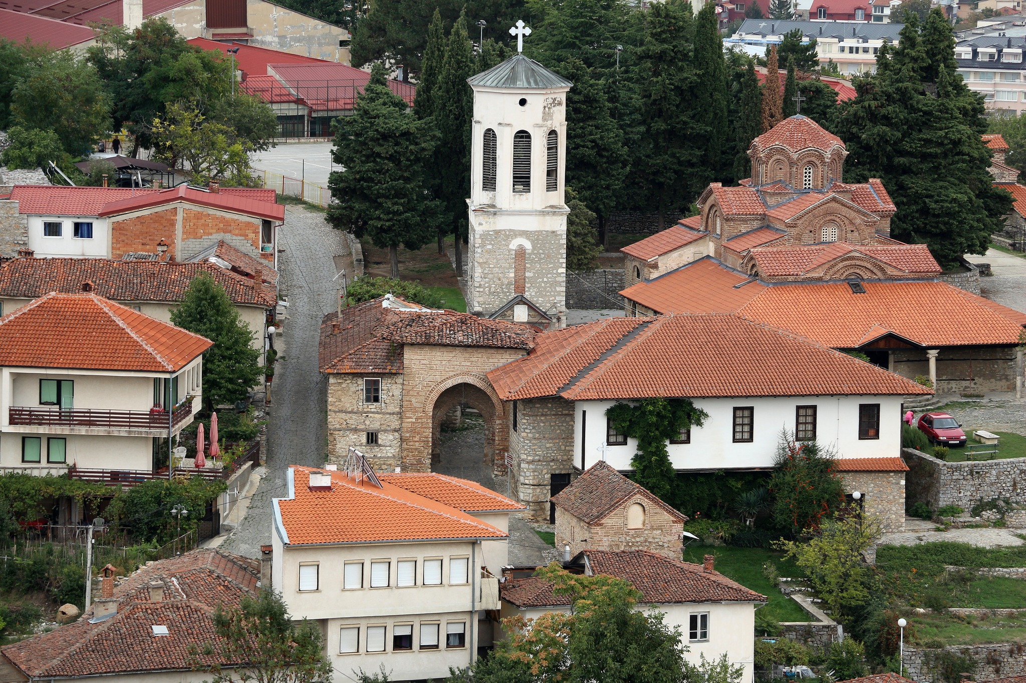
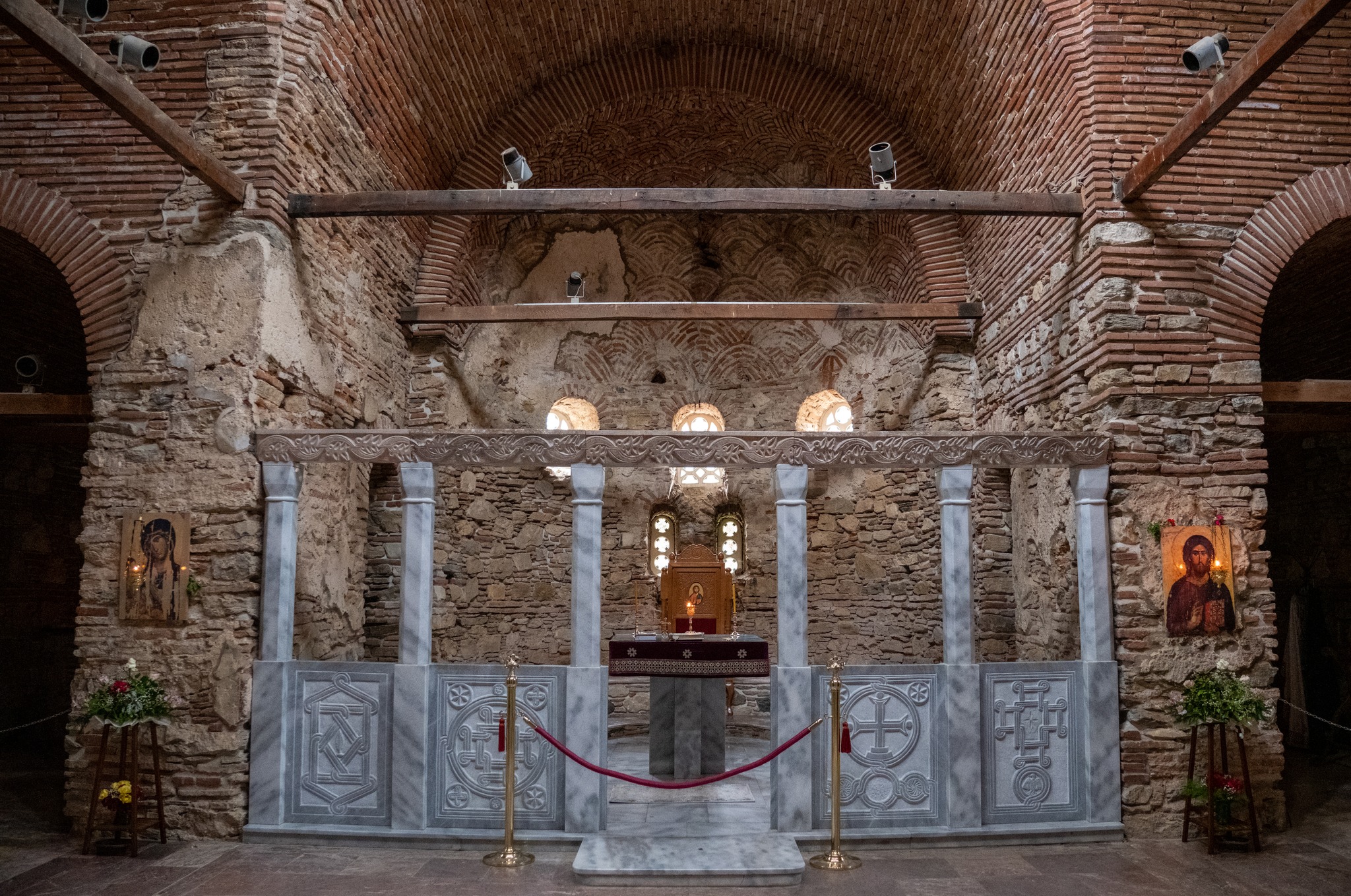
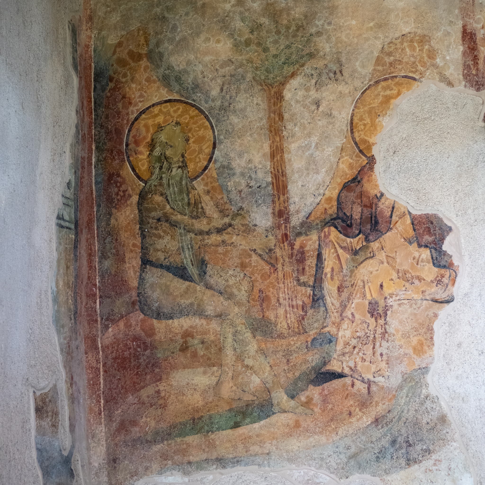
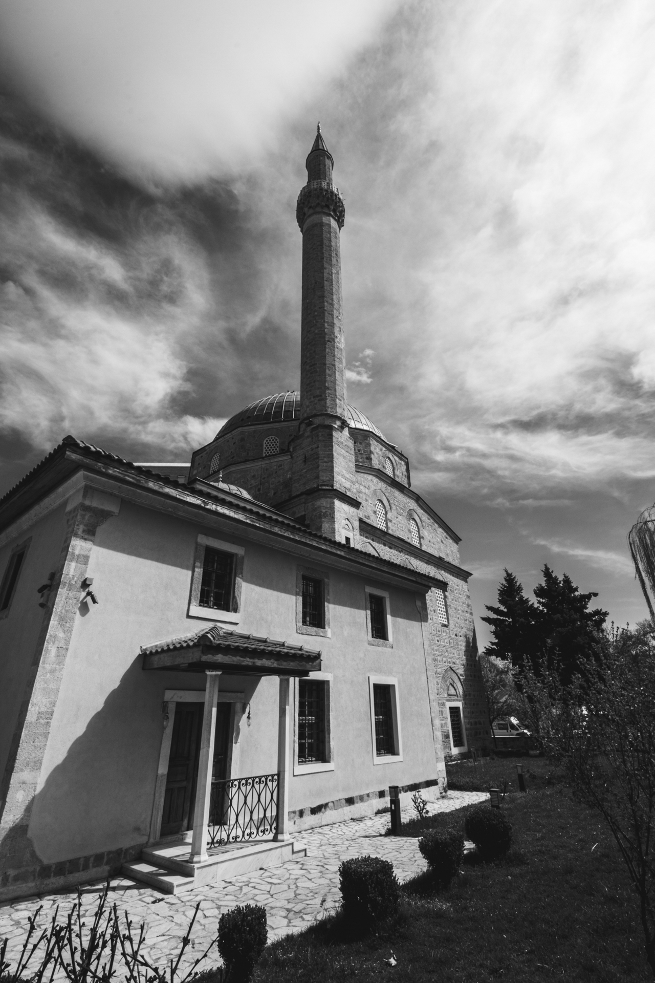
Ohrid is said once to have had 365 churches, one for every day of the year, and has been called the “Jerusalem of the Balkans.” The city and the lake of the same name have been accepted by UNESCO as a World Cultural and Natural Heritage site.
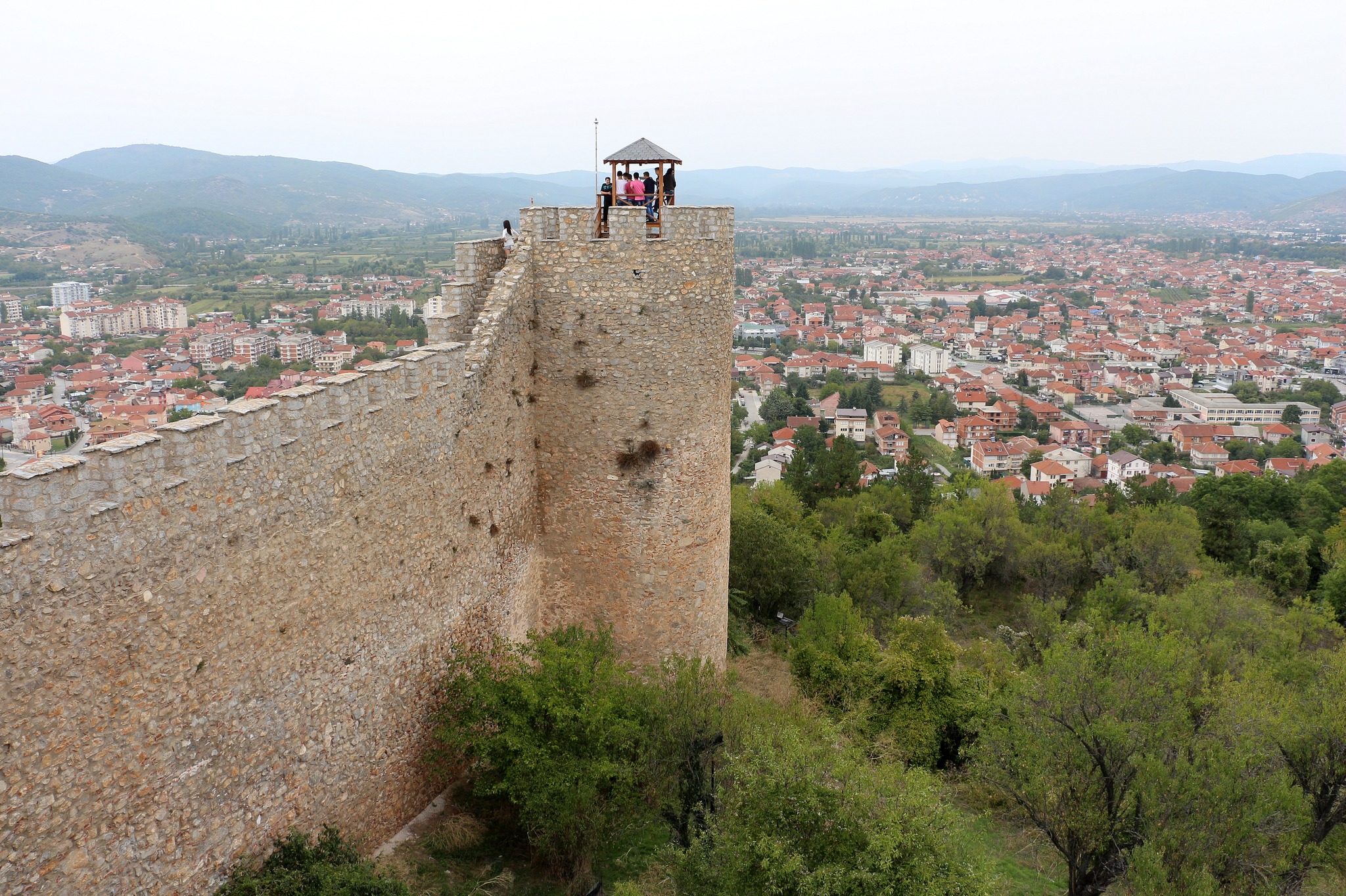
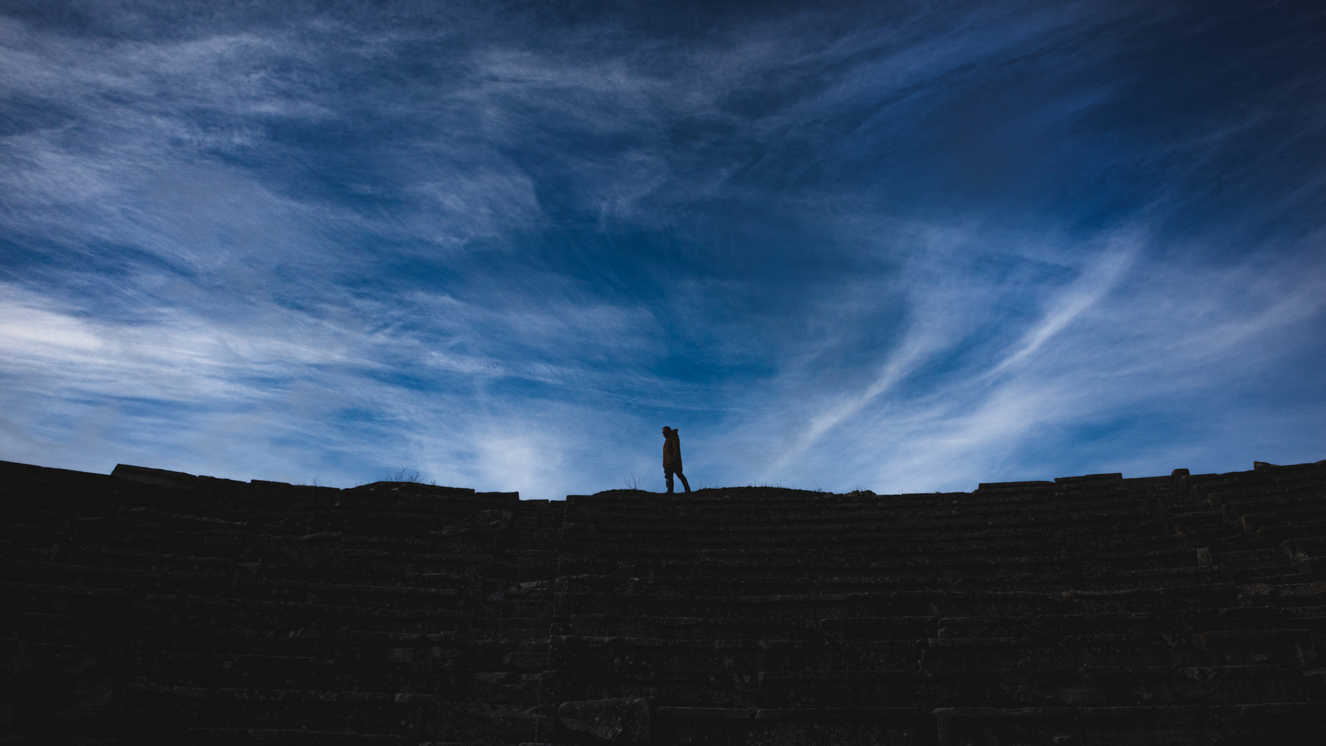
Thirty cultural monuments attract the interest of visitors, among them the many Byzantine churches, the medieval castle of Tsar Samuel of Bulgaria, the cobbled narrow streets of the old town, and the ancient Greek theatre.
Ancient Stobi
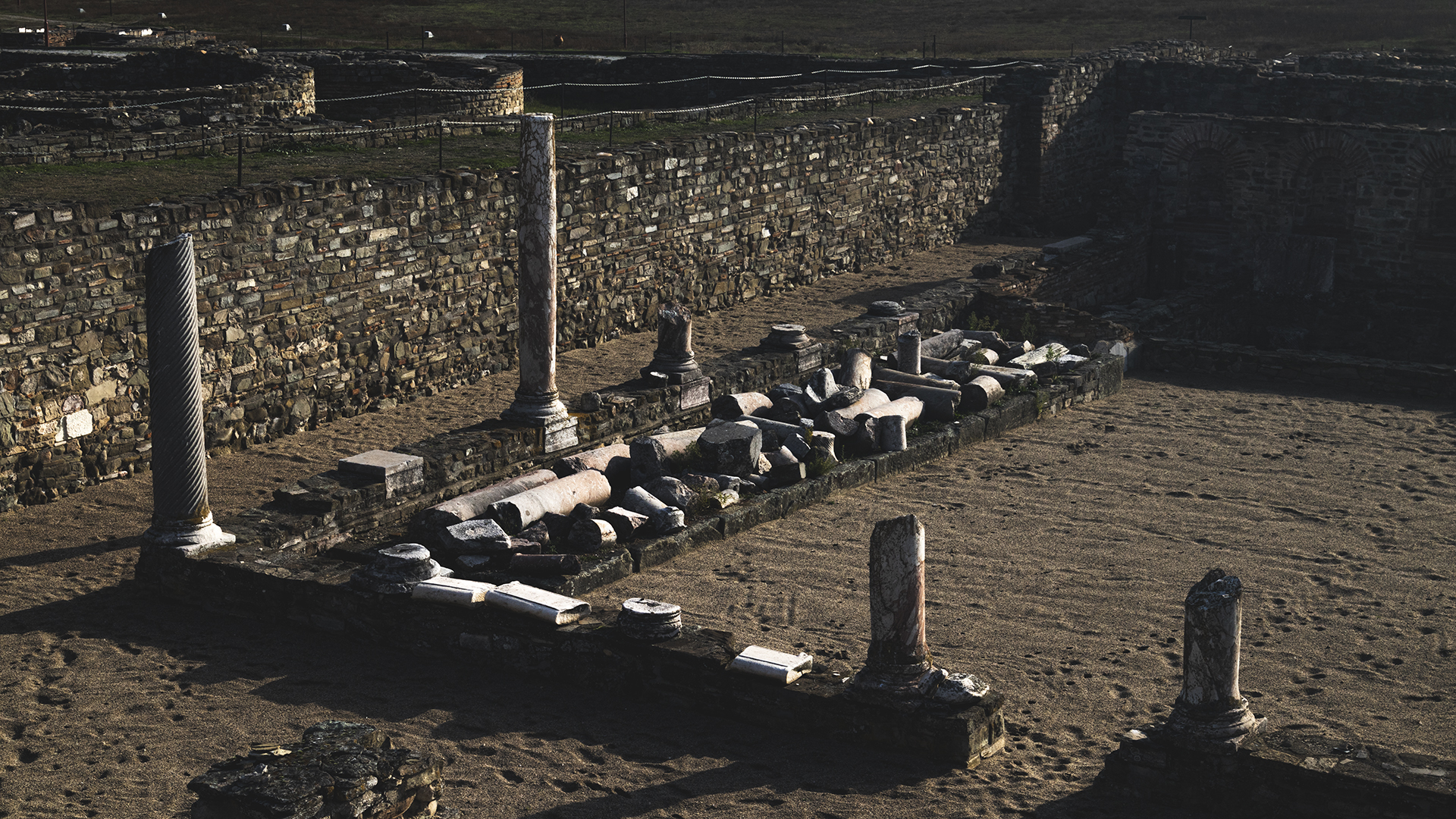
Stobi was an ancient city of Paeonia, later conquered by the Macedonians and later still becoming the capital of the Roman province of Macedonia Secunda, also known as Macedonia Salutaris.
Stovos or stomphos are Greek words, also used in the Macedonian dialect of the Greek language. In southern Greece, the word stomphos was in use with the meaning of mockery, insult, or inflated speech, and comes from the verb stoveo. In Macedonia, it was used in its literal sense: a full mouth, something swollen or bulging. At least, that is how it is given to us by the Macedonian Lycophron, an iambic poet at the court of Ptolemy II Philadelphus in Alexandria, Egypt.
If we consider, then, that the ancient city stood almost a few steps from the point where the Erigon River rushed into the Axios, both rivers swollen with water, we can understand why the settlement built beside that point took the name Stobi.
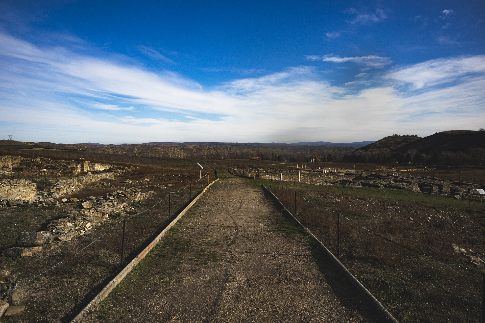
Today, it lies near the town of Gradsko in North Macedonia, on the route leading from the Danube to the Aegean Sea, and is considered the most important archaeological site in North Macedonia.
Gevgelija
Today, Gevgelija is a rather unattractive town, famous for its many casinos, in which thousands of our compatriots have lost entire fortunes.It does, however, make a good base for exploring the surrounding mountains. In antiquity, nearby stood the ancient Greek city of Idomeni. The first written references to the town under its present name, Gevgelija, date from 1690. On 20 November 1715, a sultan’s decree ordered the collection of the poll tax from the Greeks, or Yunan, but not from the Muslims of Gevgelija.
During Ottoman rule, there was a significant Greek community in the town, with a school, churches, and other institutions. The town was one of the most important centres of Hellenism until 1912. The inhabitants of the Gevgelija region took part in the Revolution of 1821 and in the Macedonian uprising of 1878, persistently requesting arms from the Greek consulate in Thessaloniki.
Lorem ipsum dolor sit amet, consectetur adipiscing elit. Ut elit tellus, luctus nec ullamcorper mattis, pulvinar dapibus leo.
Demir Kapija, the Iron Gates
The Axios River rises from Mount Šar in North Macedonia and, after 380 kilometres, flows into Greece and empties into the Thermaic Gulf. Along its course, the Axios — the Vardar to our neighbours — passes through two difficult points, two narrow passages known as the Iron Gates and the Gypsy Gorge.
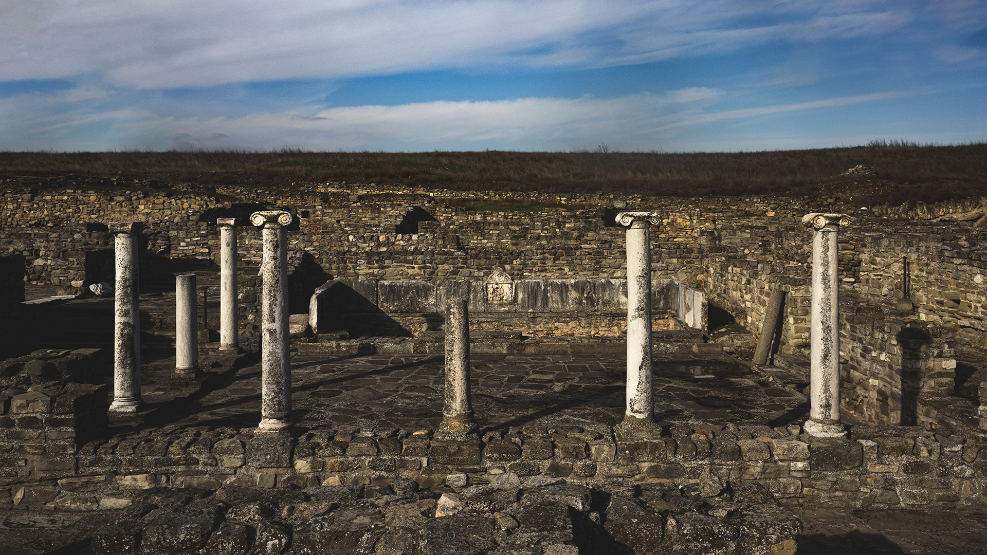
The Iron Gates are an impressive point of strategic importance, through which pass the railway line and the road connecting Thessaloniki, Skopje, and Belgrade. In the years of the Macedonian Kingdom, the city of Stenae stood there. Today, the town of the same name as the gorge has around 3,500 inhabitants.
Οι Σιδηρές Πύλες είναι εντυπωσιακό σημείο, στρατηγικής σημασίας από όπου περνούν η σιδηροδρομική γραμμή , η οδός σύνδεσης Θεσσαλονίκης – Σκοπίων – Βελιγραδίου. Στα χρόνια του Μακεδονικού Βασιλείου υπήρχε η πόλη Στεναί. Σήμερα η ομώνυμη με τα στενά κωμόπολη έχει περίπου 3.500 κατοίκους.
Kališta
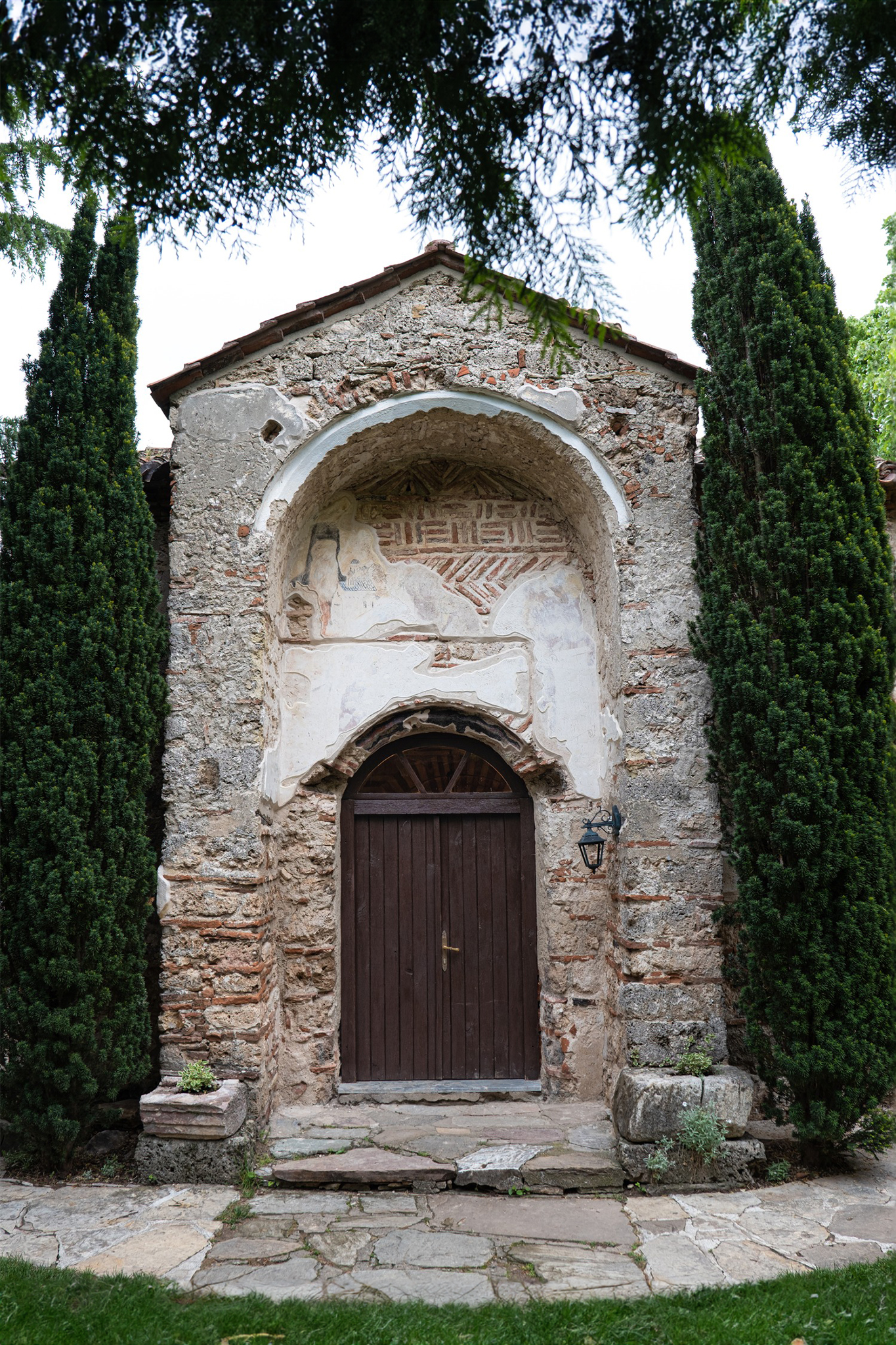
Kališta is a small settlement on the western side of Lake Ohrid, known for its pleasant beaches. It is inhabited by Tosk Albanians and receives thousands of visitors because of the monastery of the same name. On the surrounding slopes there are hermitages dating back to Byzantine times.
Ancient Heraclea Lyncestis
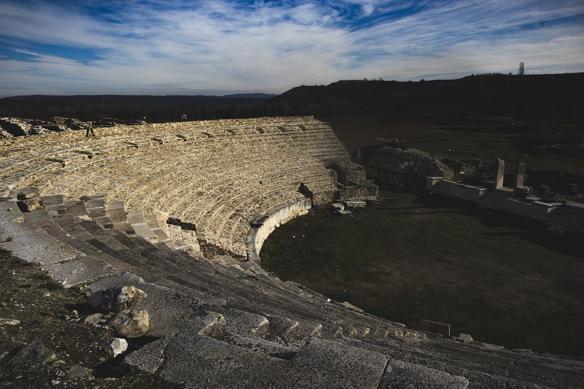
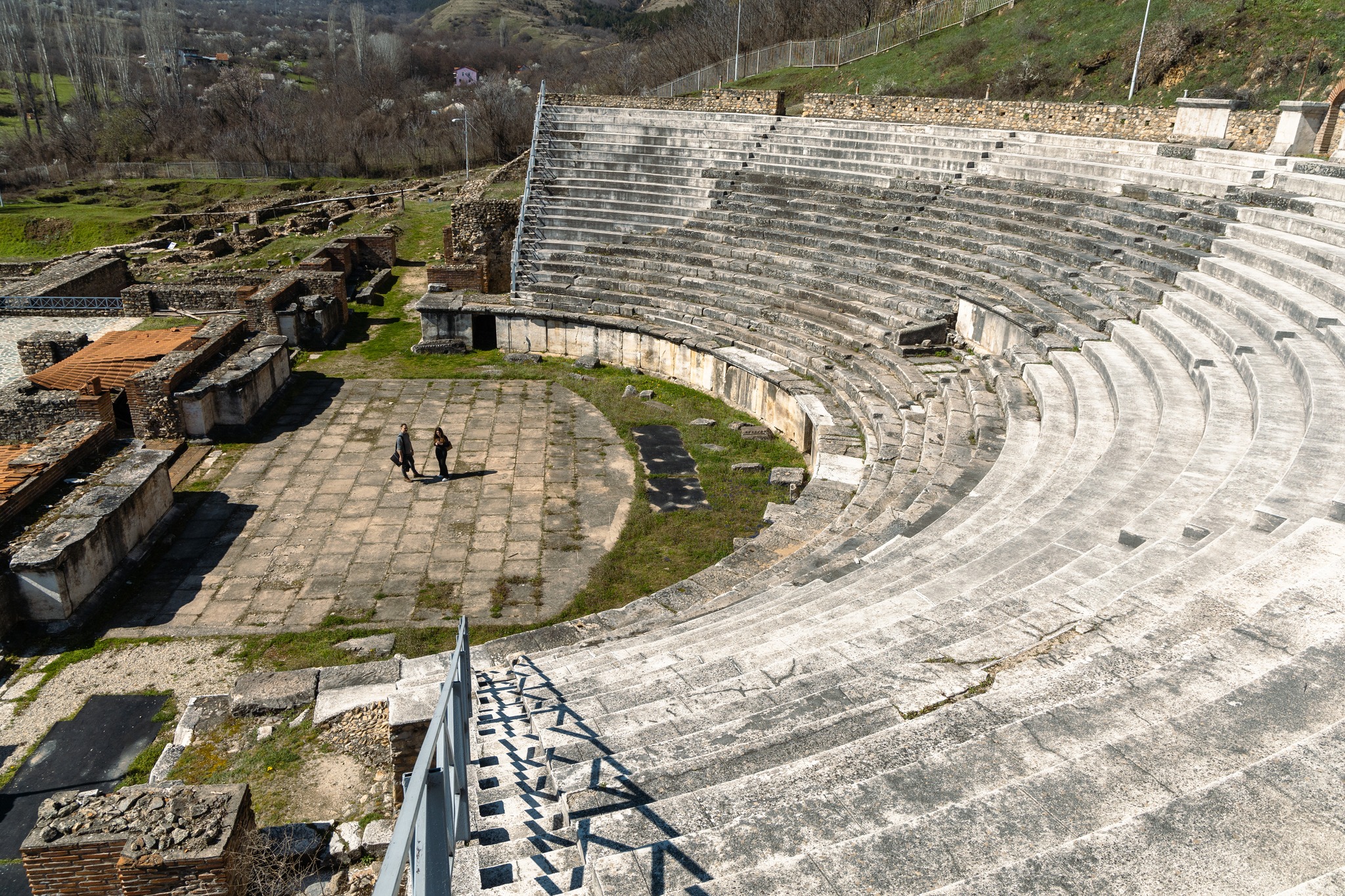
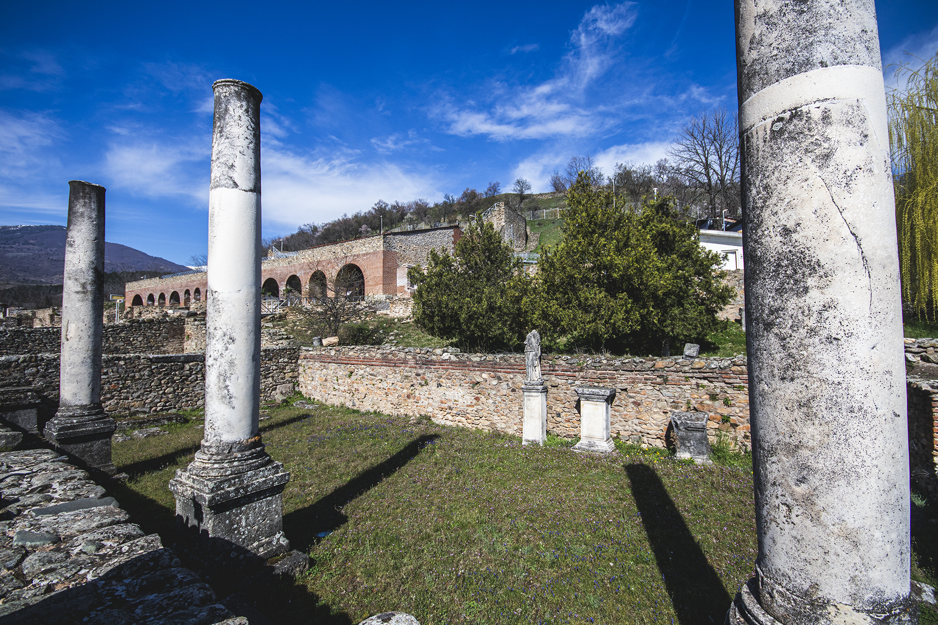
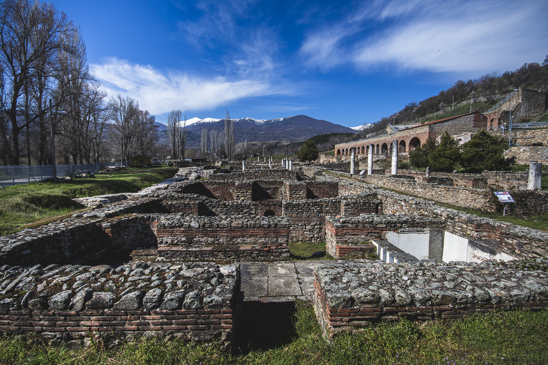
Ancient Heraclea is the second most important archaeological site in North Macedonia after Stobi. Heraclea Lyncestis, or Heraclea of Lyncus, was an ancient Greek city in Macedonia, later ruled by the Romans. Its ruins lie two kilometres south of the centre of present-day Bitola. It was founded by Philip II of Macedonia in the middle of the fourth century BC, after he had conquered the surrounding region and incorporated it into his kingdom of Macedonia, apparently in memory of a victory over the Illyrians.The city was named in honour of the mythological Greek hero Heracles. Philip chose the name because he considered himself a Heraclid and therefore a descendant of the demigod Heracles. The name Lyncestis comes from the ancient kingdom conquered by Philip, where the city was built.
Heraclea acquired outstanding strategic importance during the Hellenistic period, as it stood at the edge of Macedonia’s borders with Epirus to the west and Paeonia to the north. In 148 BC, when the Romans made Macedonia a Roman province, the city lost its political power. Nevertheless, Heraclea continued to prosper thanks to the Via Egnatia, the main Roman road in the region, which passed nearby. From the Roman period at Heraclea, votive monuments, a stoa, baths, a theatre, and city walls have been excavated.
Strumica
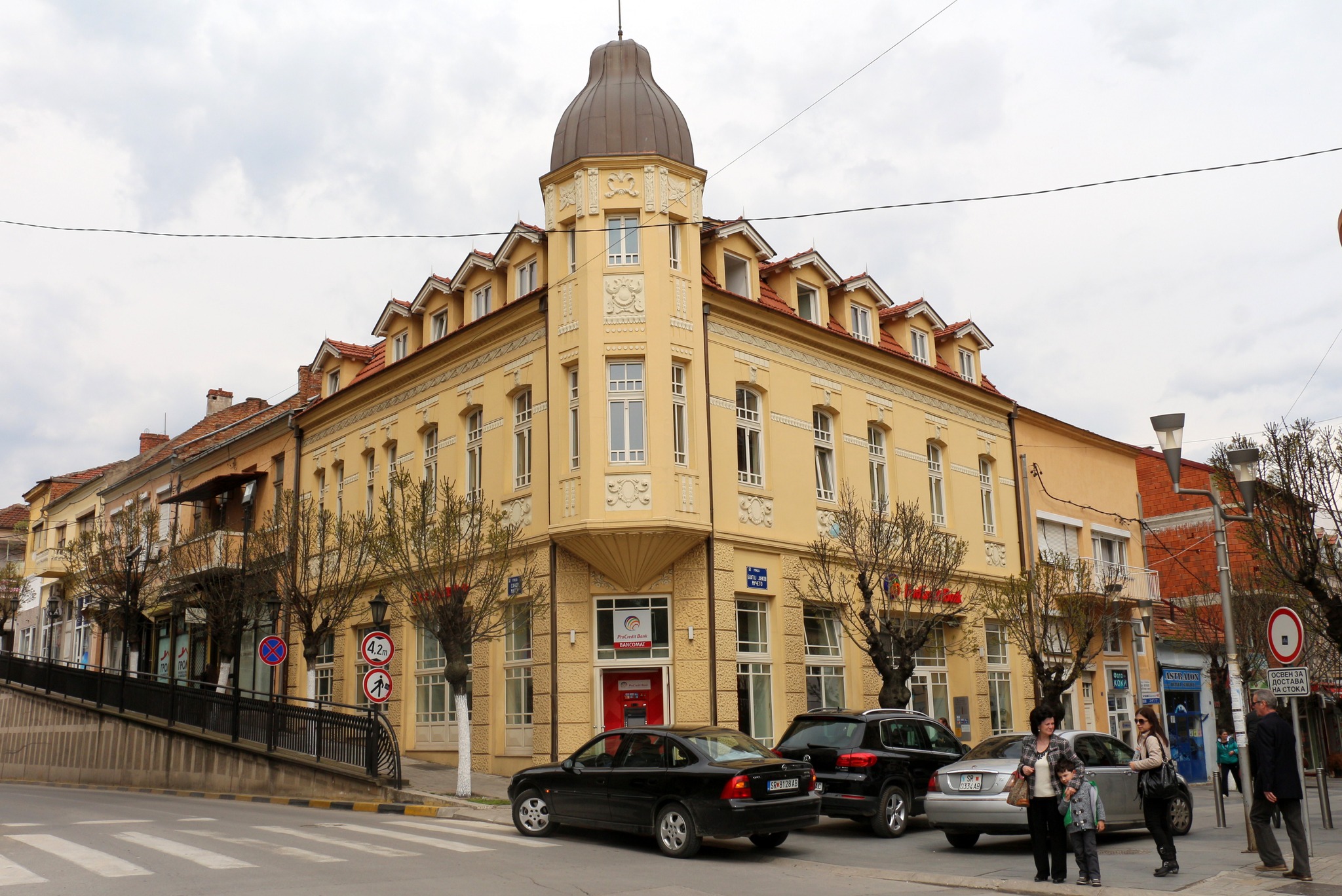
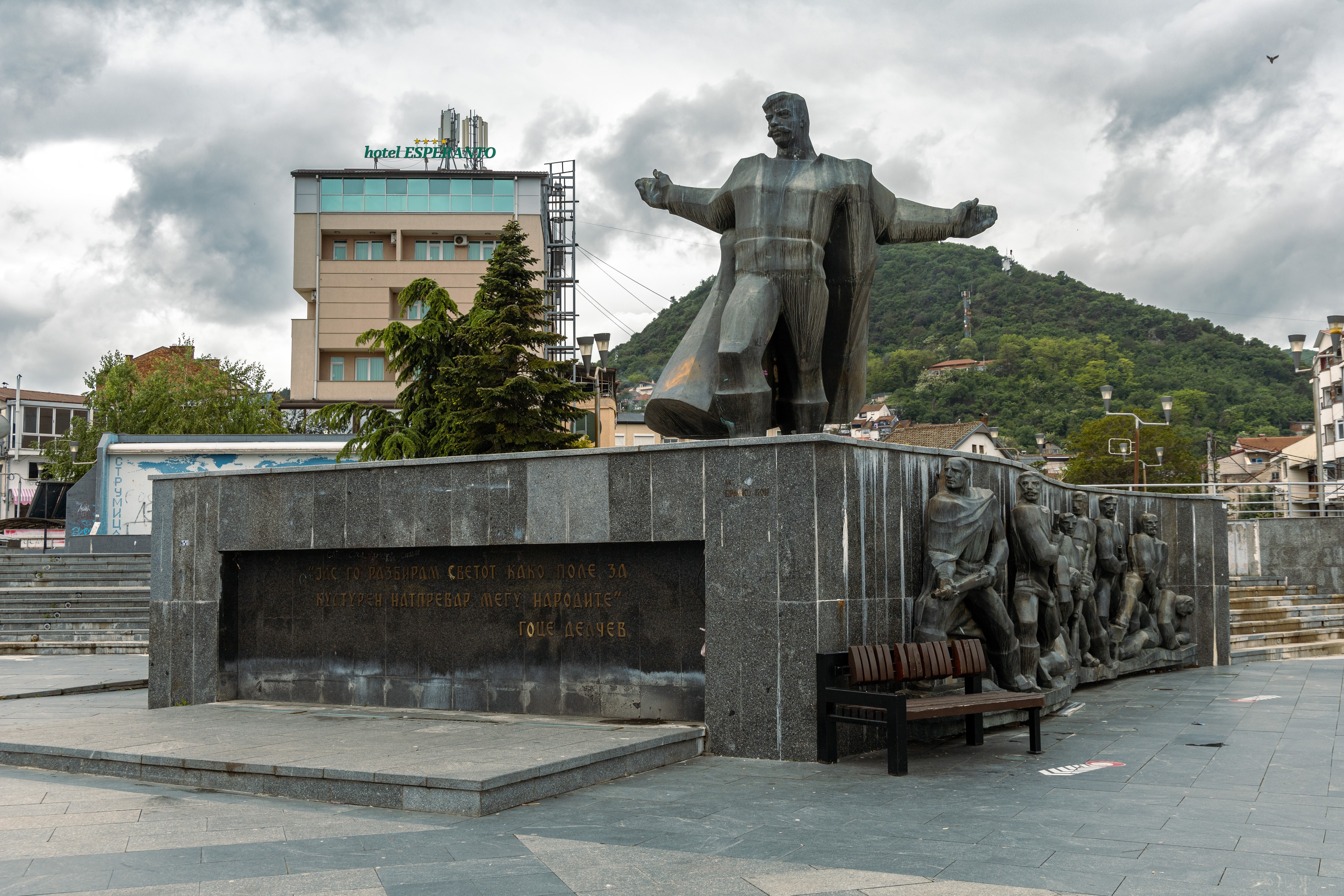
Strumica lies in the southwest of the country, close to the border with Bulgaria and near Petrich. It was an important centre of the Paeonians and later of the Macedonians, from which, through corruption, the modern name derives. During the Roman period, it was called Tiberiopolis. It was an important urban and cultural centre of the region during the Byzantine and Ottoman periods. The city was once full of Macedonian mansions built by wealthy Greek merchants. Today, nothing remains to recall its former splendour, since the city was burned by its own Greek inhabitants. Specifically, in 1913 the city was liberated by the Greek army. After the capitulation of the Bulgarians, however, it was handed over to the Serbs. The Greek inhabitants of Strumica rebelled when news spread of the withdrawal of the Greek army.
During that withdrawal, the city was set on fire, and the blaze lasted from 8 to 15 August 1913.
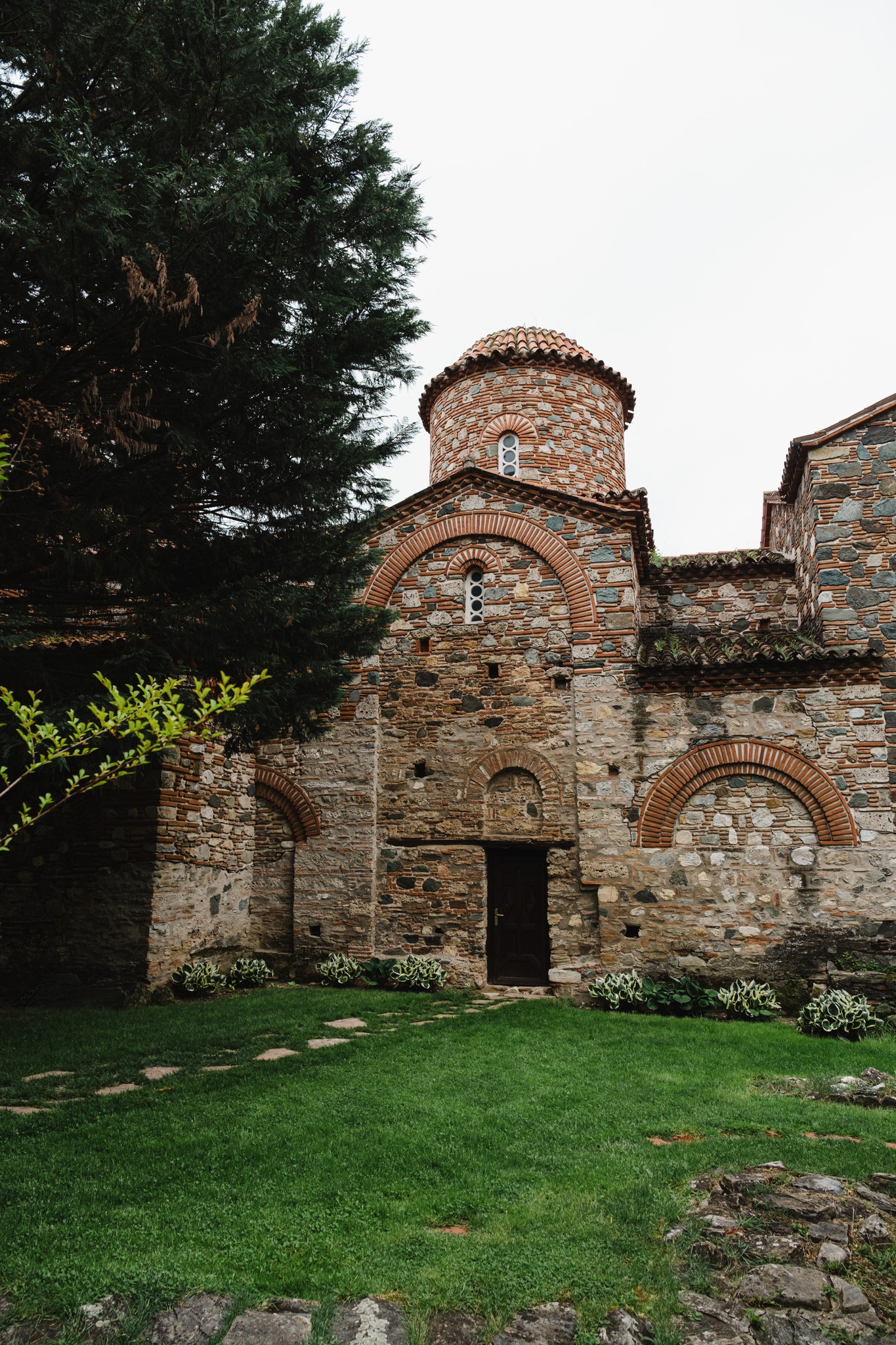
The damage was enormous: more than 1,900 public buildings, private homes, and other structures were burned. From 1913 to 1919, most Greeks moved into Greek territory in Macedonia and settled in Kilkis and Thessaloniki. Today, the town remains a good base for excursions into the surrounding green mountains and to the Byzantine monasteries of Panagia Eleousa and Saint Leontius.
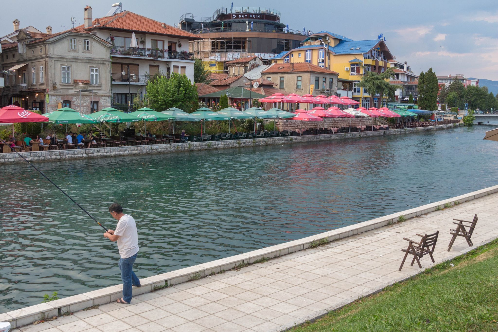
Struga
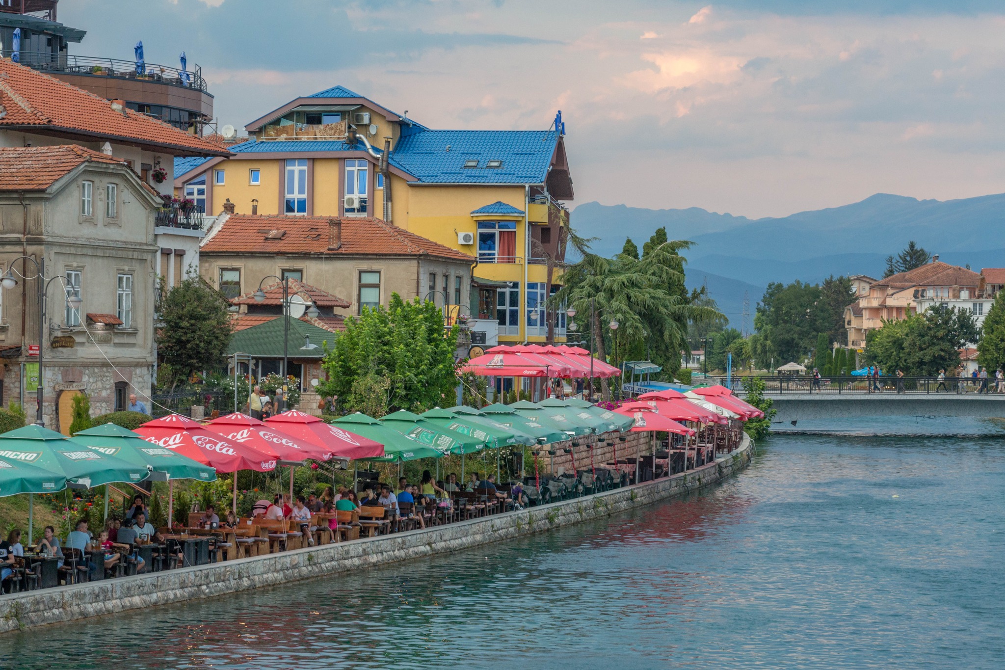
Struga is a picturesque town divided in two by the Black Drin River. It lies on Lake Ohrid, very close to the Albanian border. The old name of the town is Enchalon, the ancient Greek word for eel, a fish species that lives in Lake Ohrid.
Bitola
Bitola has been inhabited since ancient times. Settlements existed in the area from the Bronze Age. In antiquity, the region formed part of Lyncestis and was inhabited by the ancient Greek tribe of the Molossians. Later, it was incorporated into the Kingdom of Macedonia.
During the sixth and seventh centuries, the region underwent demographic change as more and more Slavic tribes settled there. Many houses were built during this period on the site of the now ruined theatre. The Slavs also built a fortress around their settlement.
The city then became part of the First Bulgarian Empire from the late eighth to the early eleventh century. The spread of Christianity, the work of Saint Clement of Ohrid and Naum of Preslav, took place from the ninth to the tenth century, when many monasteries and churches were built in the city.
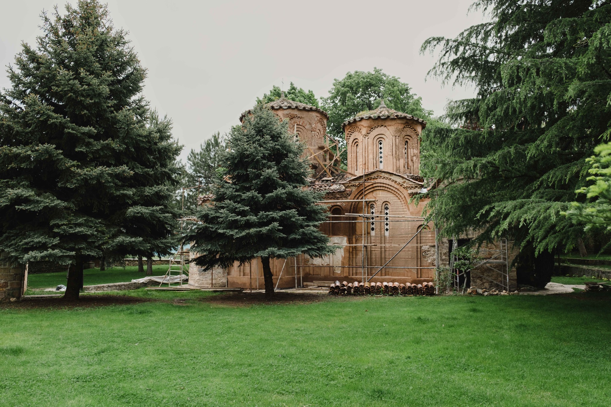
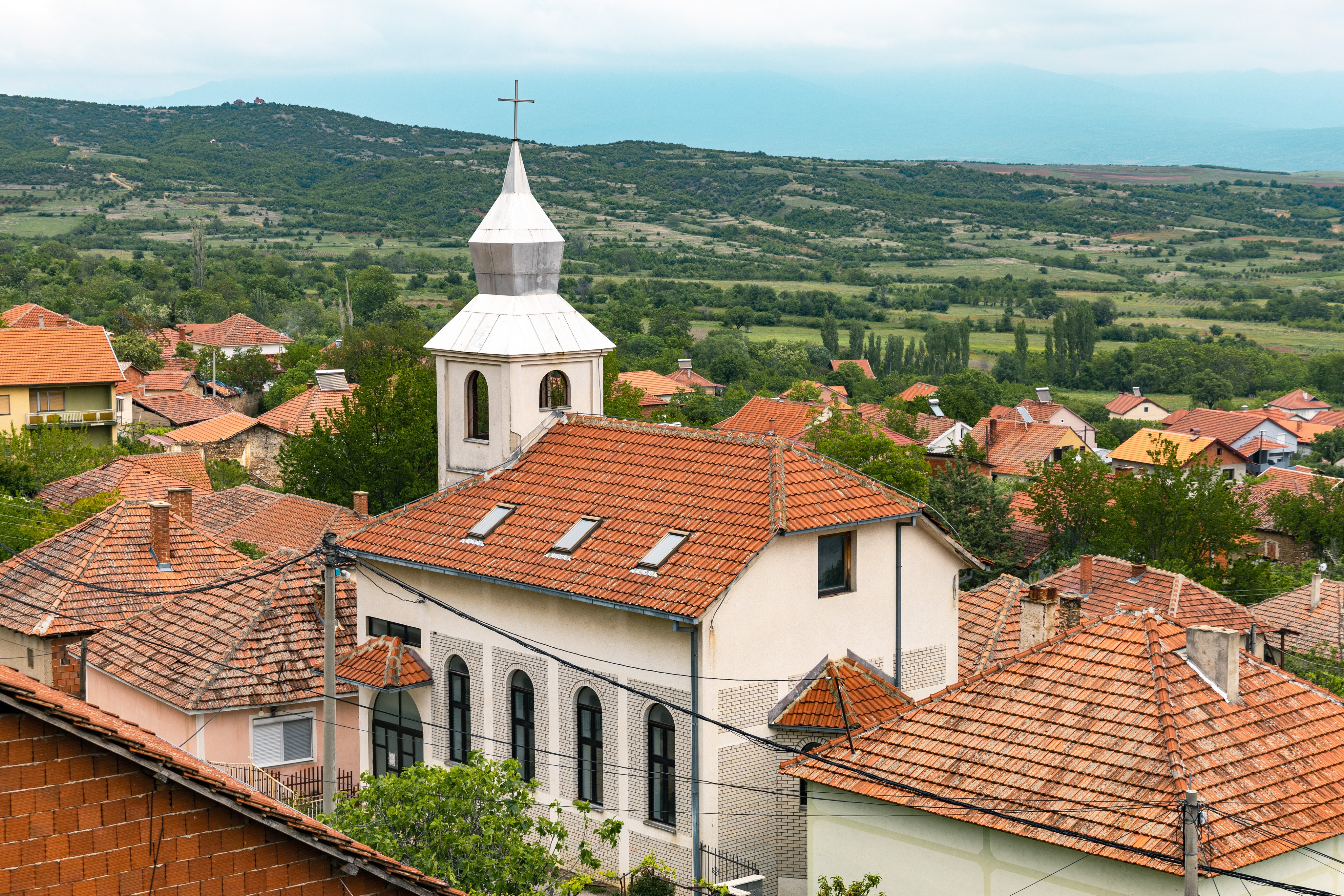
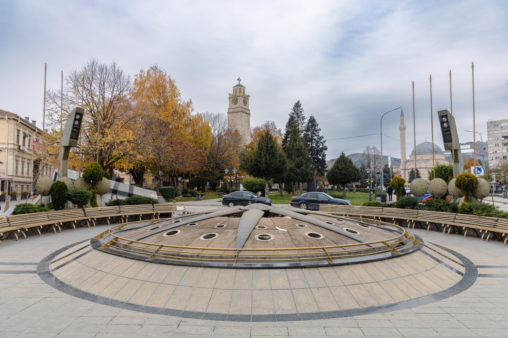
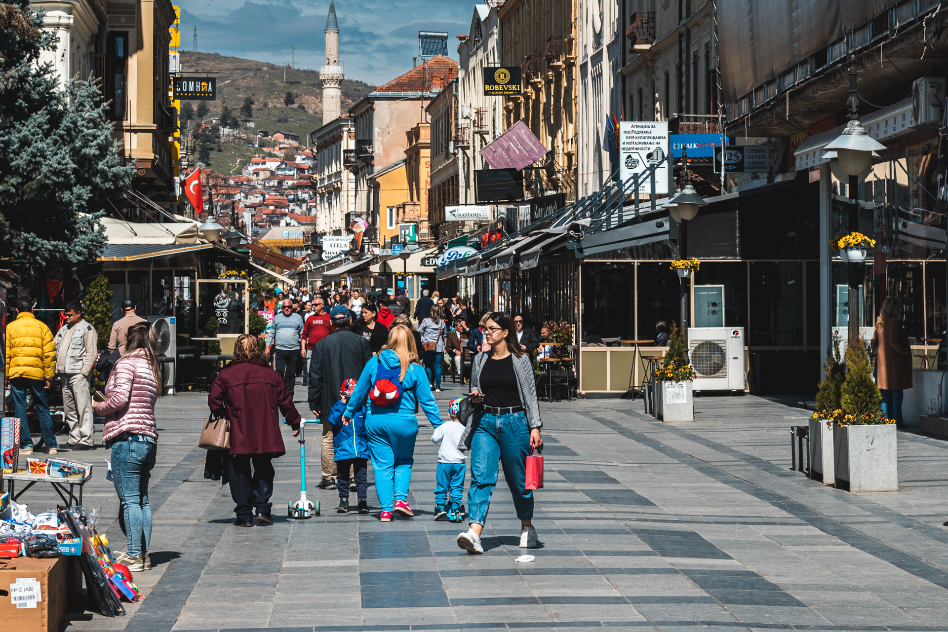
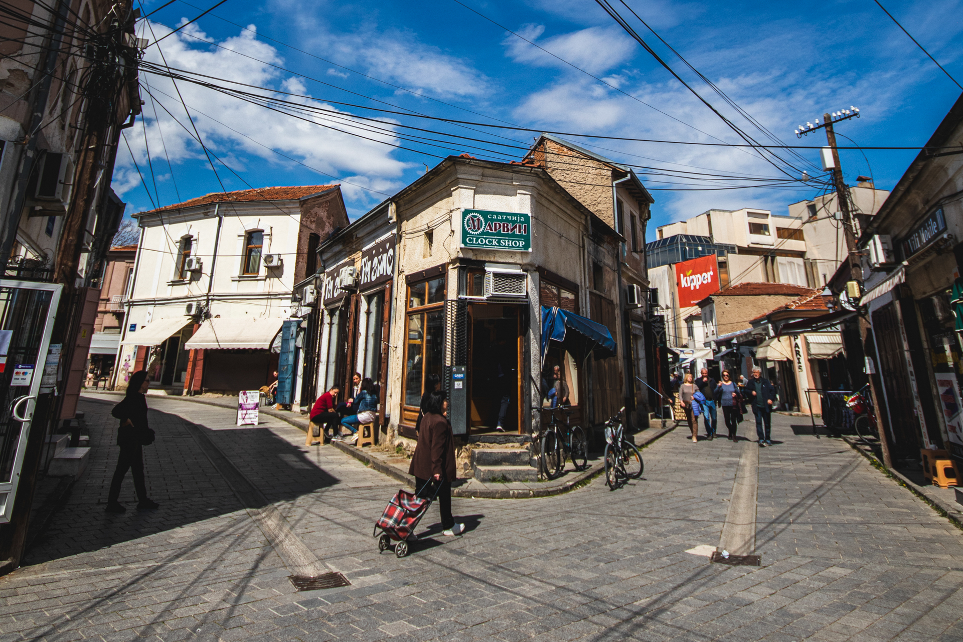
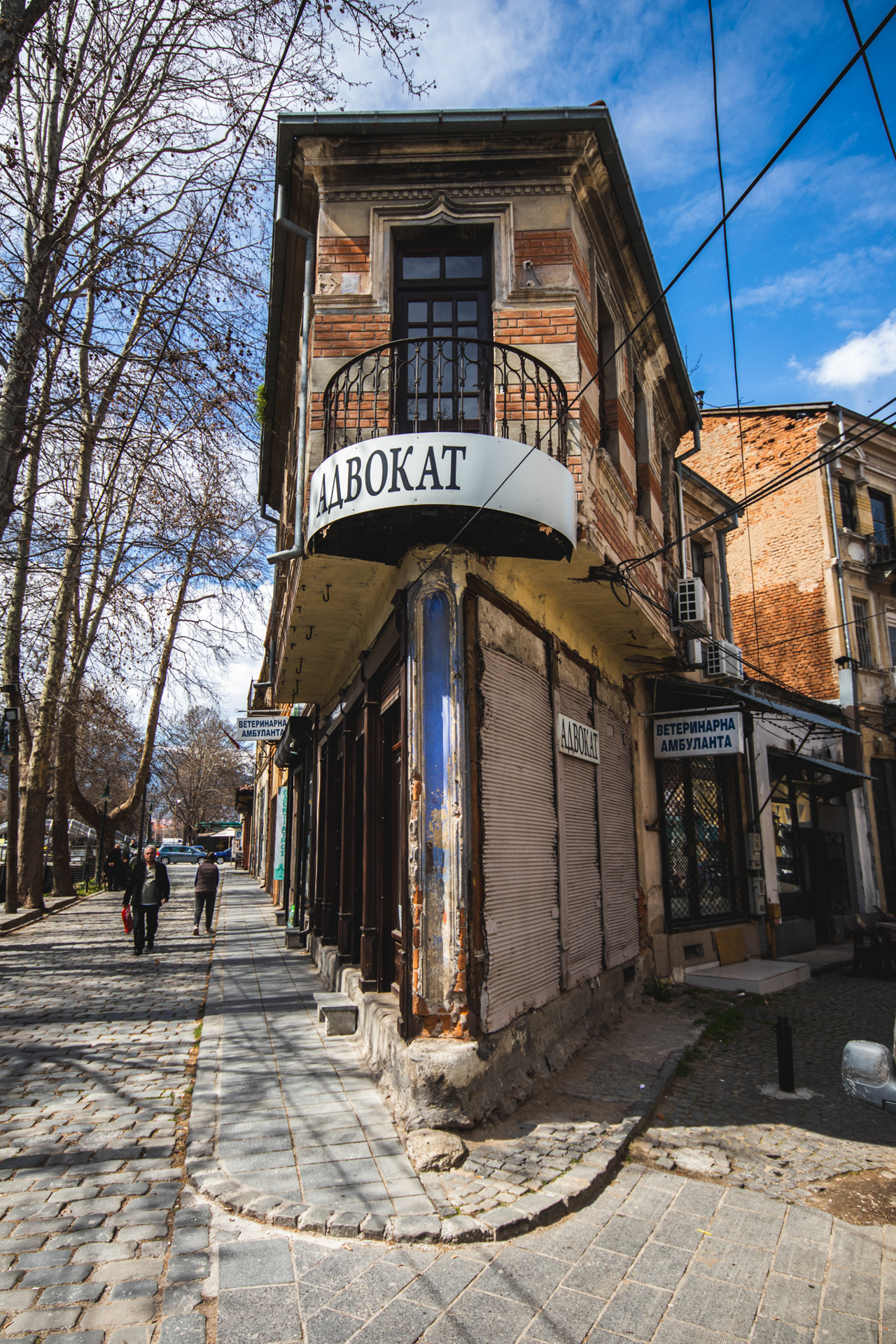
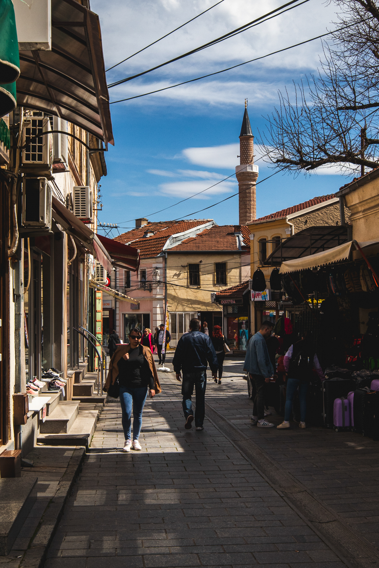
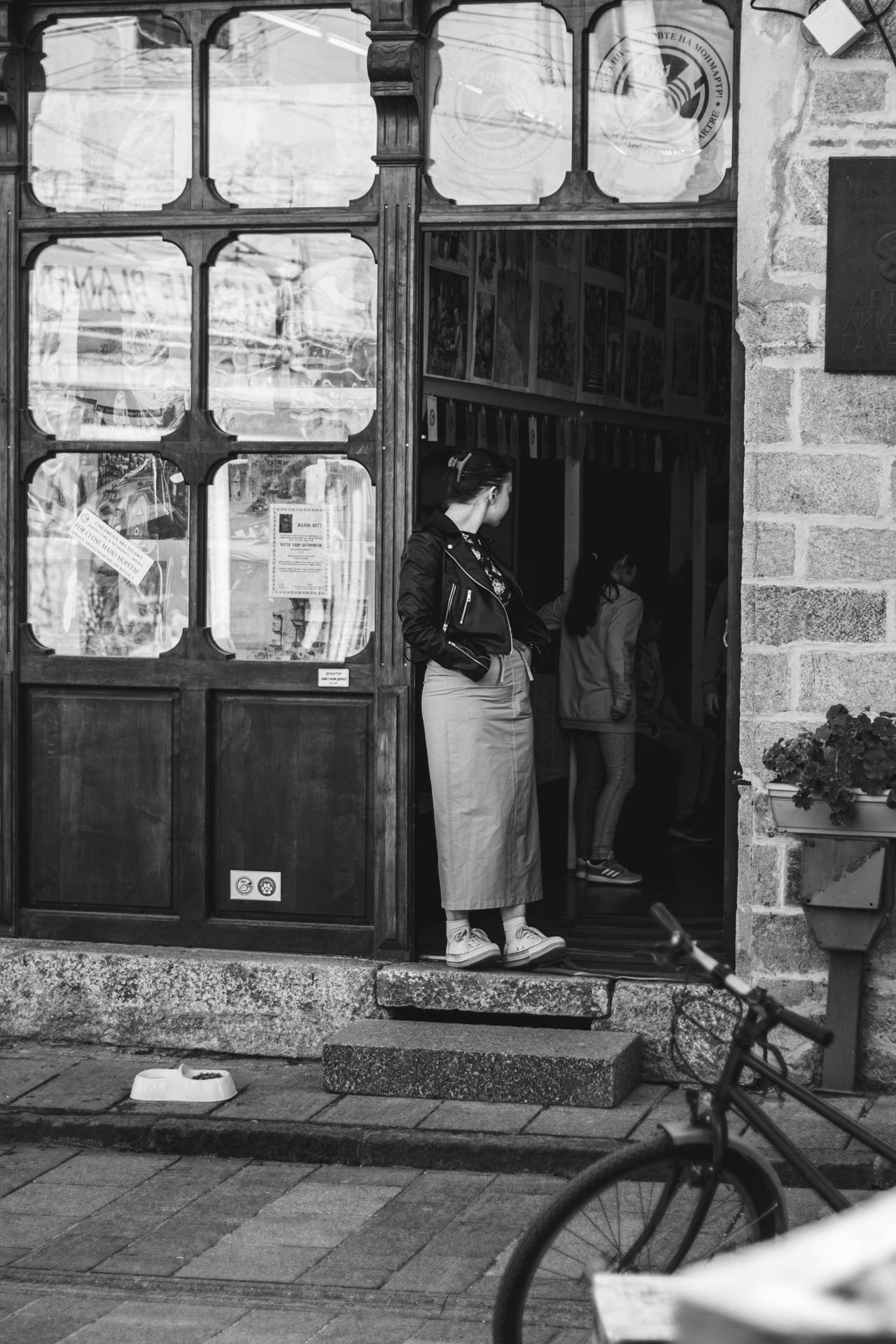
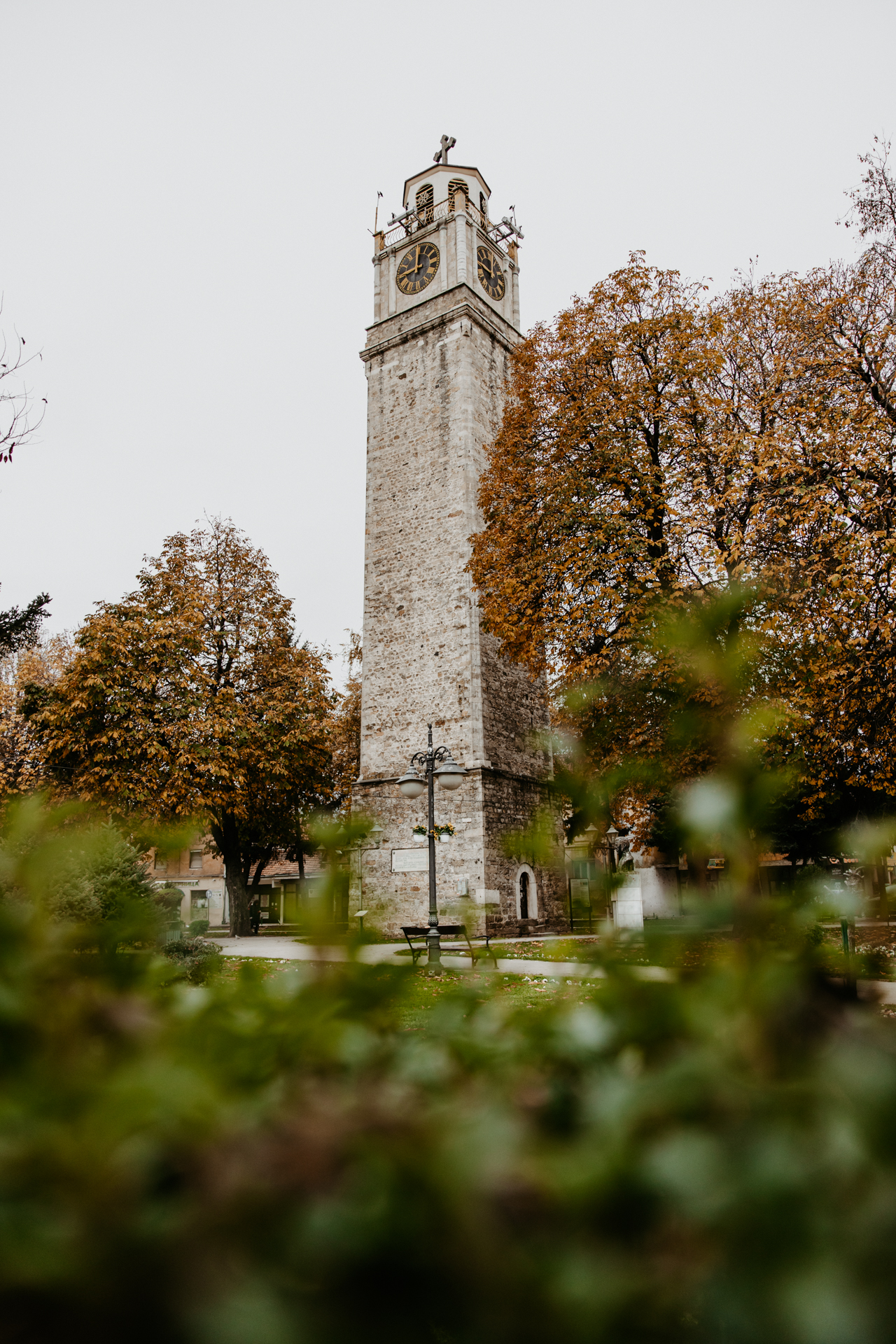
Today, Bitola is the second largest city in North Macedonia, only 15 kilometres from the border with Greece. In this city of 80,000 inhabitants, crossed by the Dragor River and spread at the foot of Mount Baba in Pelister National Park, a nostalgic cosmopolitan atmosphere prevails among shaded parks and a central street lined with cafés and old consulates.
Kemal Atatürk studied here, as did the Manaki brothers, the first cinematographers of the Balkans.
It is a city that was once a centre of Hellenism and Greek culture in the region: multiethnic and multicultural, with a strong and creative Vlach presence. Of all the cities in our neighbouring country, Bitola stands out for the most European, romantic, and neoclassical architecture of the nineteenth century, when the star of the Ottoman Empire was setting in the Balkans.
Epilogue
In conclusion, our journeys to the neighbouring country made us wiser.
We understood that the tension between the two countries, caused by the historically unfounded obsessions of our neighbours, had often led to negative interpretations and hostility between the peoples — something political forces in both countries tried to exploit for votes.
Today, however, common economic and commercial interests, and the interaction developing between peoples within an unstable international environment, show everyone that peaceful coexistence and cooperation are the only way forward.
In all our journeys to the neighbouring country, we met people who were hospitable and smiling, willing to help us with anything we asked. The phrase “we are Greeks” not only did not close doors; on the contrary, it opened doors and hearts.
This is a people with all the good and bad traits of Balkan DNA.
In the end, the person from our group who said at the border was absolutely right:
“You know… they’re just like us.”