Article by Nikos Kakagias Cover photo by Nikos Kakagias Edited by Harrys Pourouzidis
The fire crackled beneath the ancient oak, and the silent drama in the eyes of the bound bard deepened the seriousness of the group’s gathering. All eyes were fixed on the druid, who stirred the broth he was preparing. In them was the anxiety and expectation of people made for eternal adventures. The great druid, as his gaze turned towards the sky in one final plea to Toutatis, dipped the ladle into the cauldron. A few drops spilled into his long beard, and from there into the cup of the old warrior, who drank it down in one gulp.
“Demosthenes, mate… this is beer,” he cried.
The druid struck the impatient one with a look that allowed no further discussion, and pointed northwest.
“There,” he said. “We shall go to the land of the Illyrians.”
And somehow, after a three-hour journey, we found ourselves at the Kakavia crossing on the Greek-Albanian border, setting out on a road trip through our northern neighbour.
For the rest of the group, except Demosthenes, the feeling carried elements of curiosity and reasonable uncertainty, since attempts of this kind in the past had belonged more to the realm of imagination.
The relief of the land was just as wild and bare as the region we had left behind. The Greek-speaking villages, perched in the huge furrows of Mount Mourgana, which continues northwards to the left of the road, revealed the same demands dictated by the same necessities of settlement everywhere on earth.
Bularat, Derviçan, Goranxi — some of the many names that declare the presence of Greek Epirotes in the neighbourhood of the ancient Chaonians.
History, an endless and often bloodstained mixer of populations, demands respect for those communities that insist on preserving their identities and proclaiming that nothing is truer than the old saying: wherever on earth one lives, there is one’s homeland.
Our first stop was Gjirokastër.
- Gjirokastër -
Danis Papagiannoulis
Dimosthenis Seitaridis
Dimosthenis Seitaridis
Danis Papagiannoulis
Ευτύχης Τσαουσίδης
Nikos Kakagias
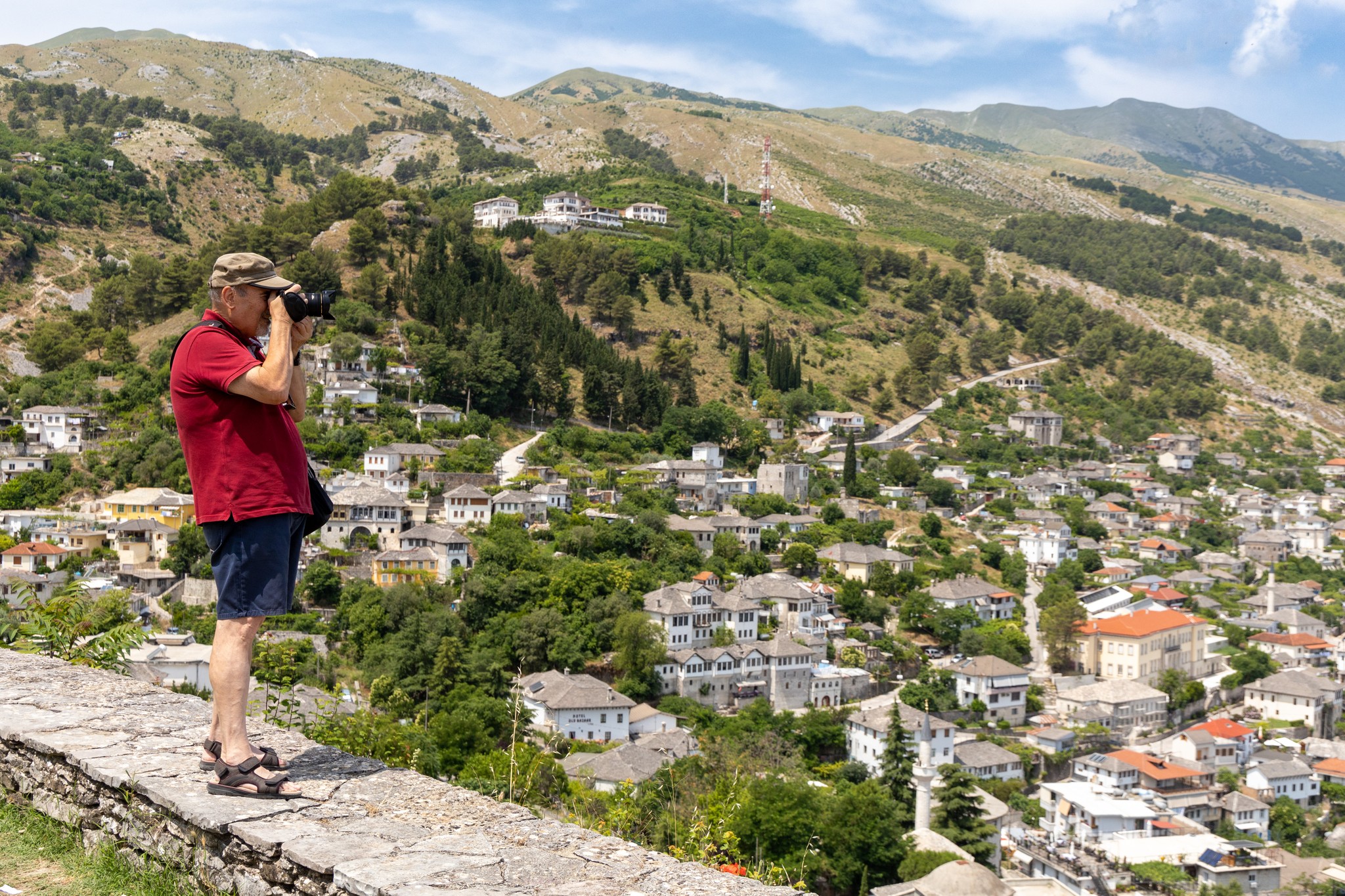
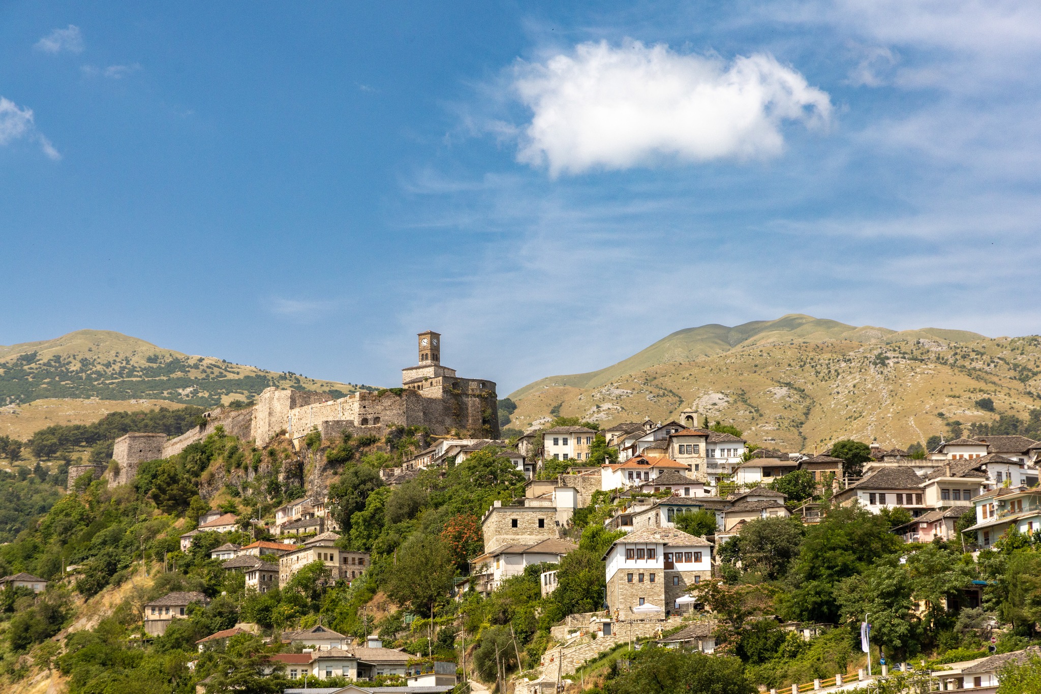
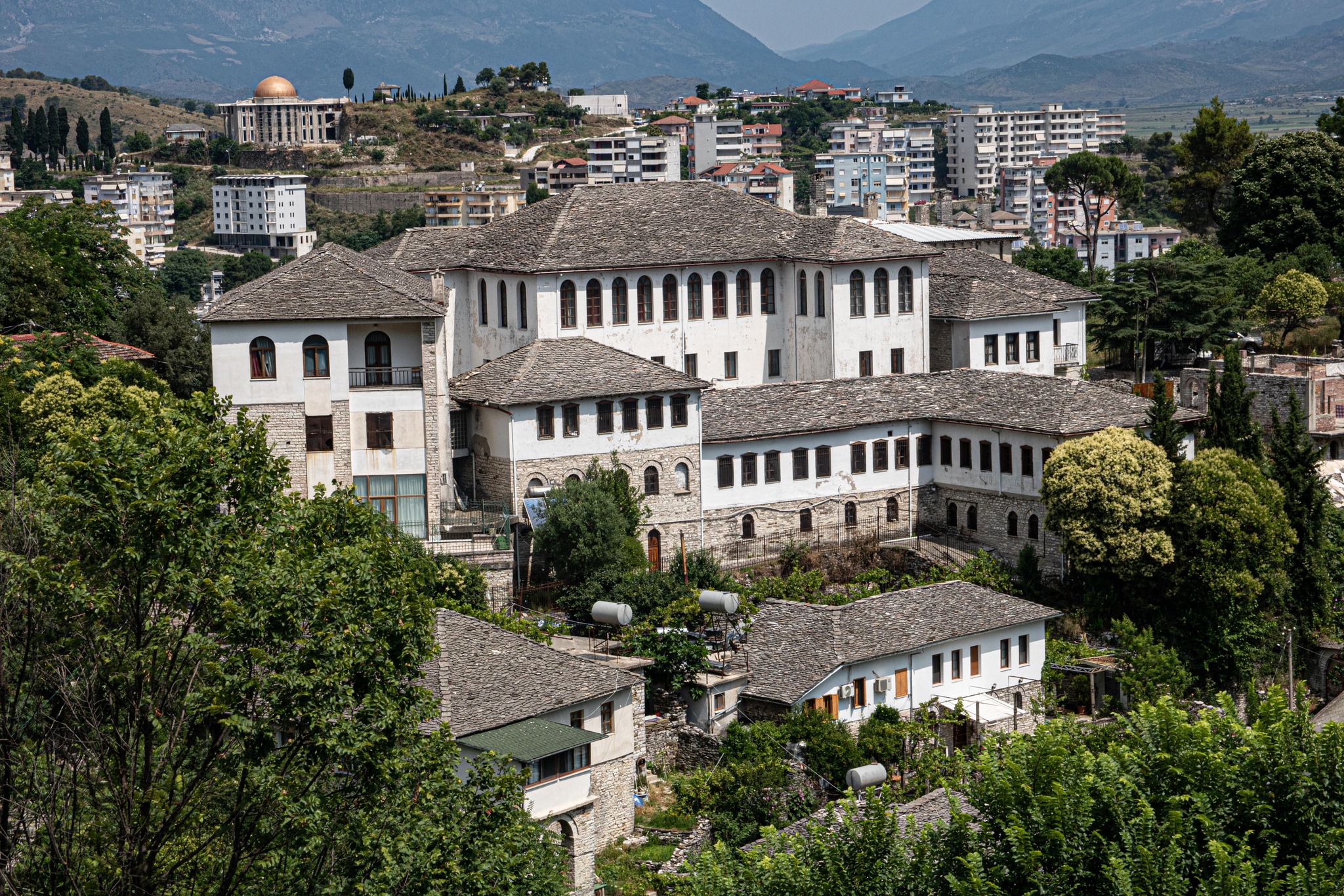
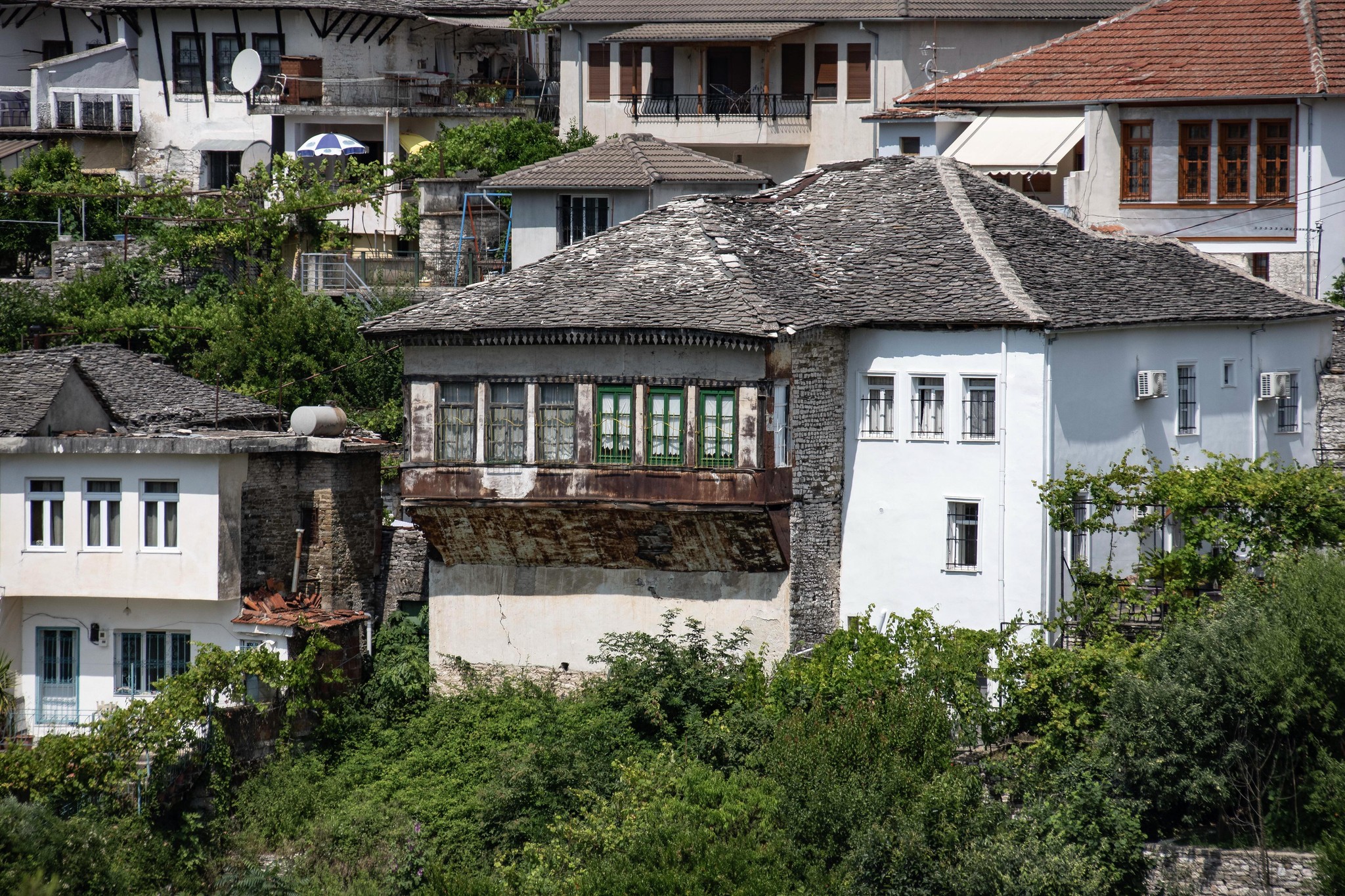
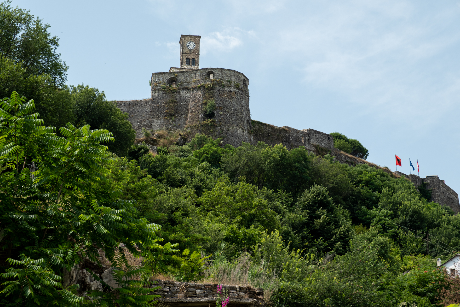
We saw it before us, its imposing citadel dominating the height above, with the city spread around it. The city is built in the narrow valley of the Drino river, along a northwest-southeast axis. The old town, with its mansions at the foot of the hill, is itself a UNESCO monument, opening into free space towards the south.
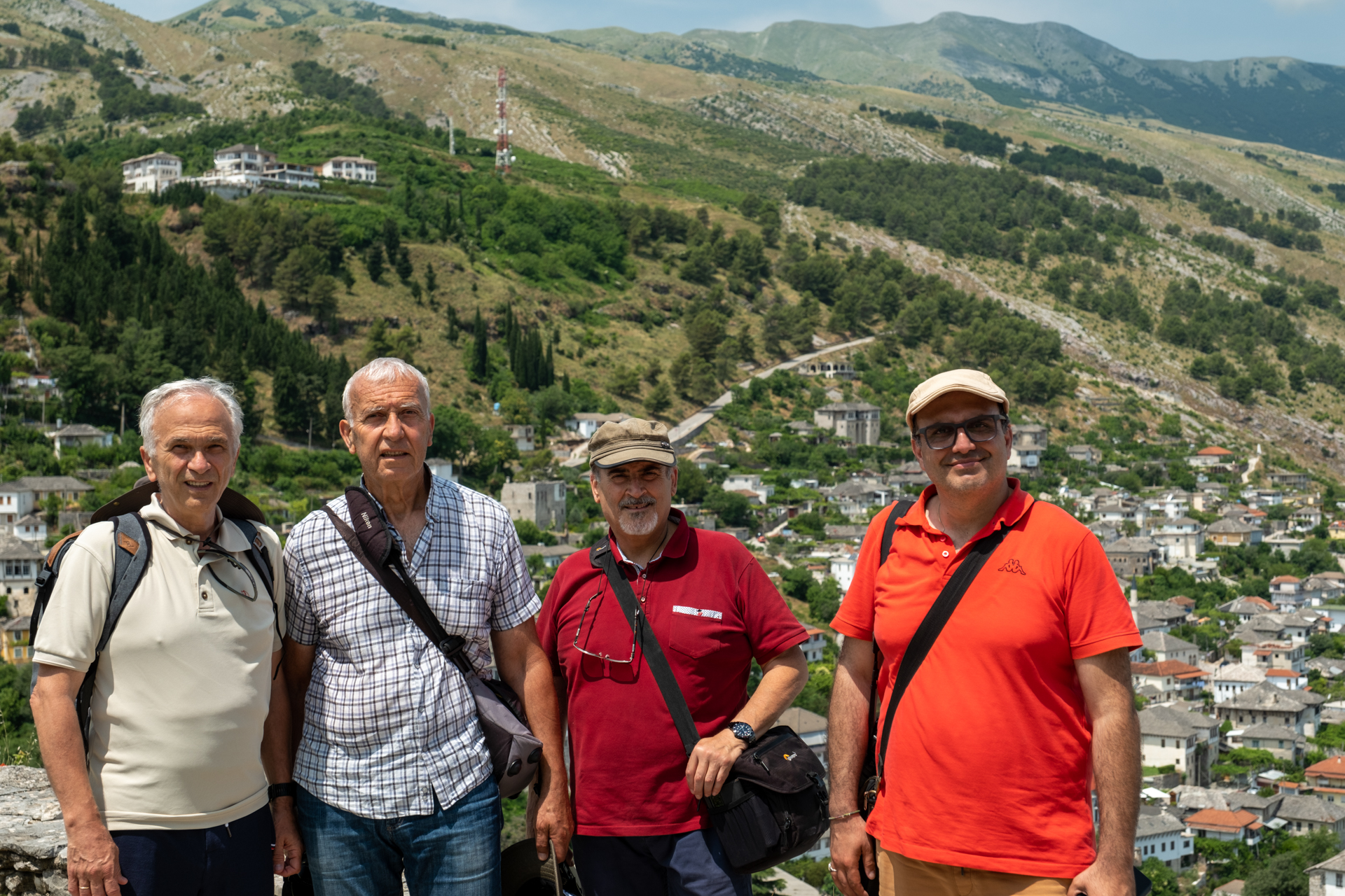
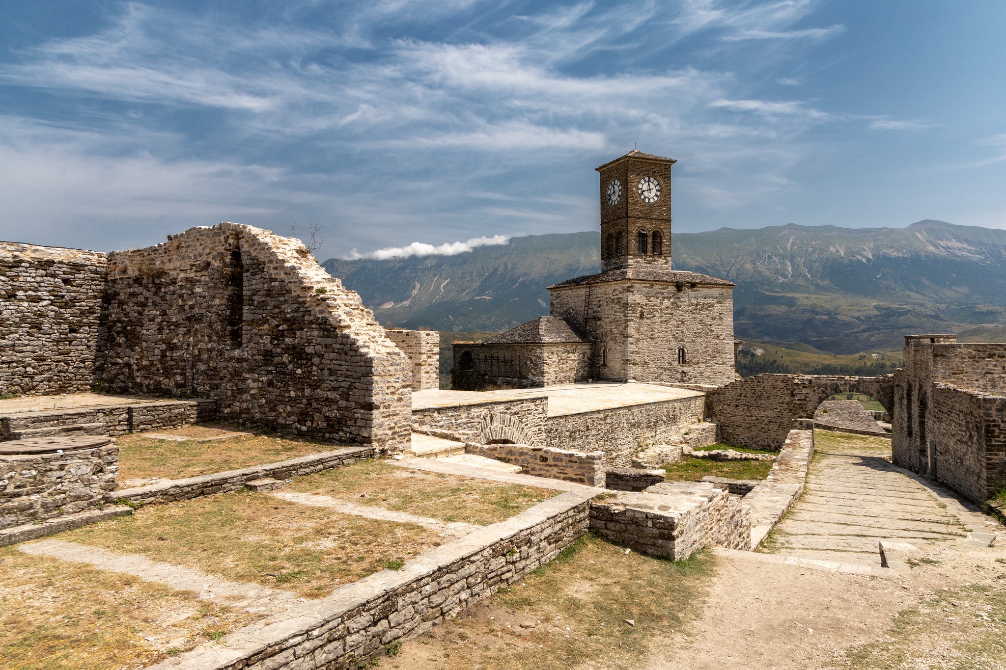
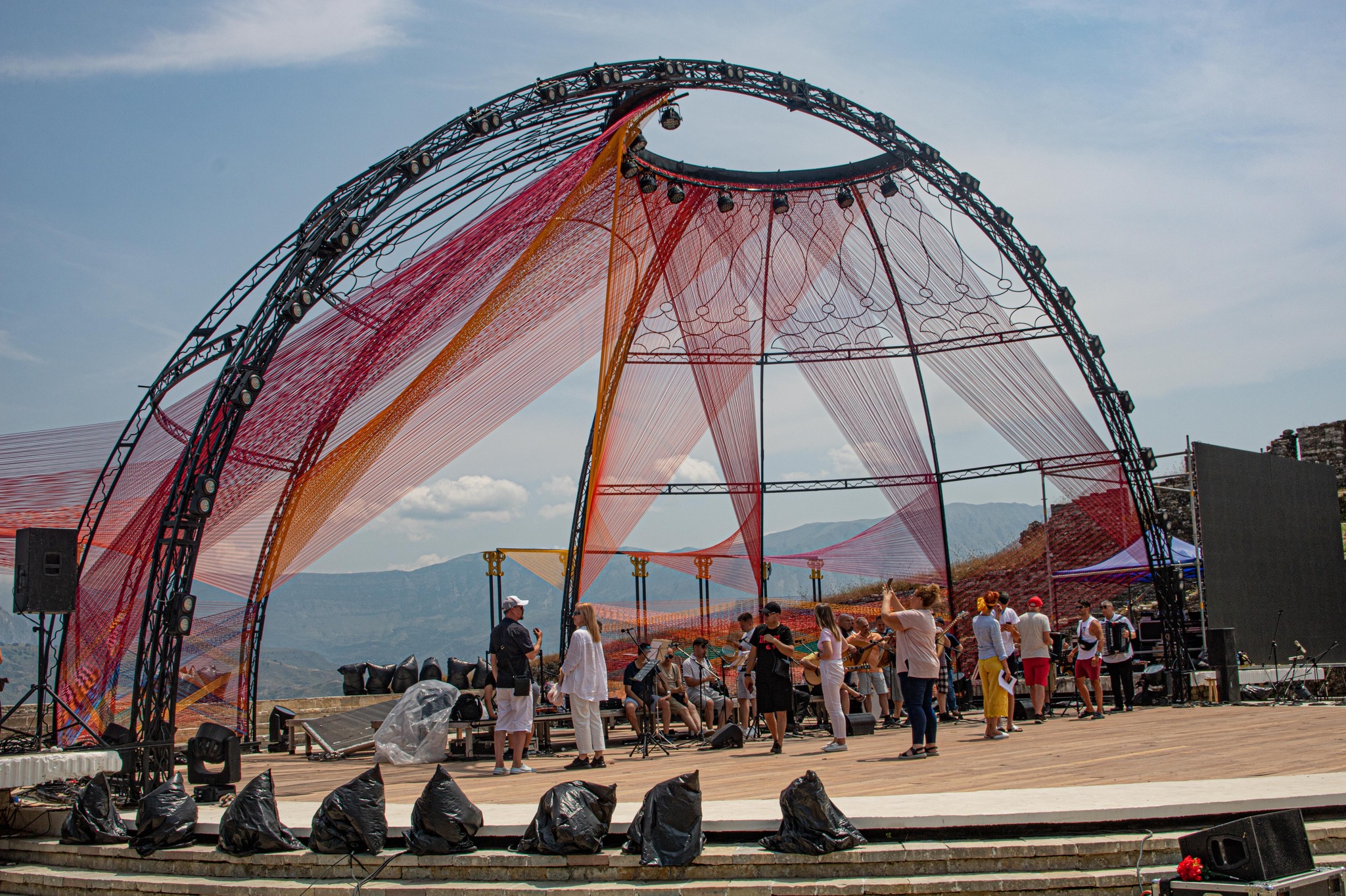
Our own feet, rather unwillingly, took the uphill path, since the fortified stronghold was, as photographic protocol dictates, the destination. The arched entrance of the well-preserved castle, sealed by the stern gaze of a policeman, briefly scattered our pious hopes. But the low-voiced conversations awakened the spirit of some nearby workers, who showed joy and surprise at meeting people with a shared ancestral root.
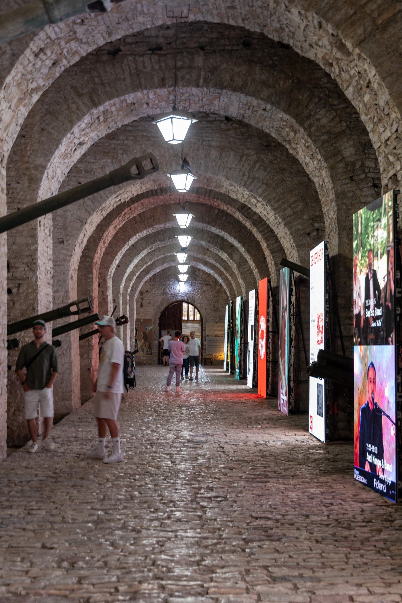
From that moment on, the doors opened, and the group, proud of its victory, scattered through the cool depths of the castle, which in every recess housed some remnant of war, a reminder of the threat that hangs through time over the necks of the foolish. The view over the whole city was extraordinary, offering plenty of material for the cameras and reflective sparks for our historical awareness.
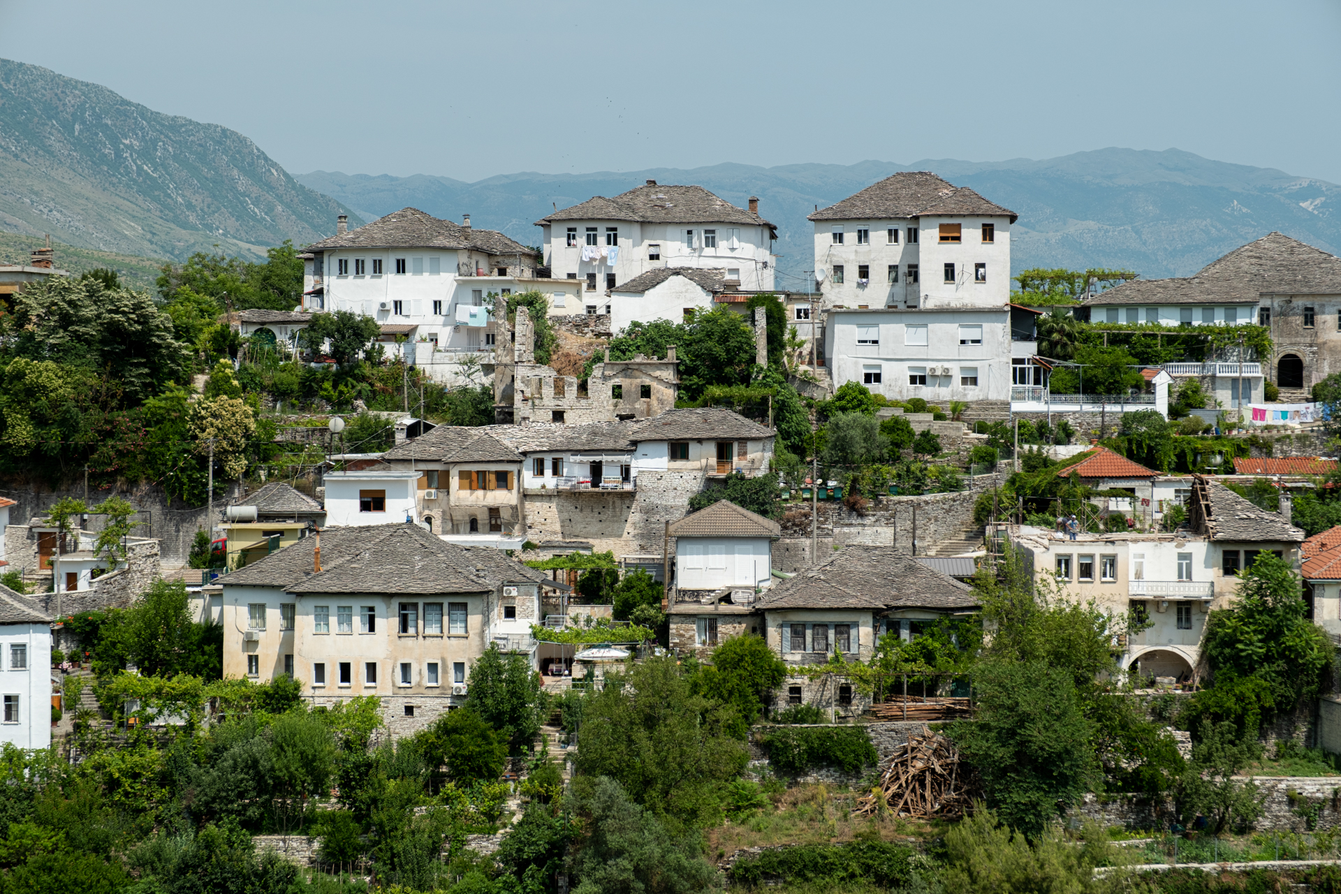
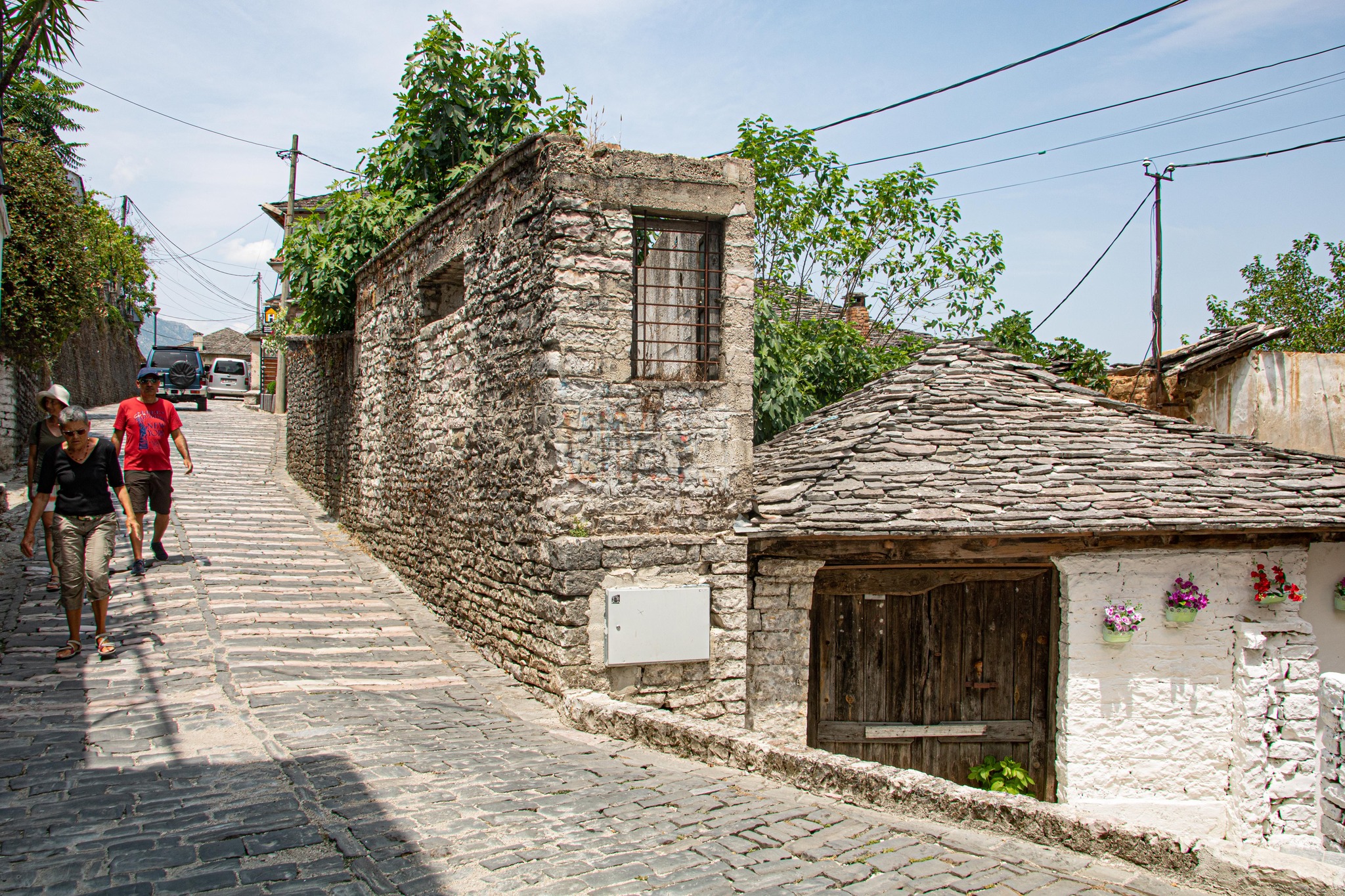
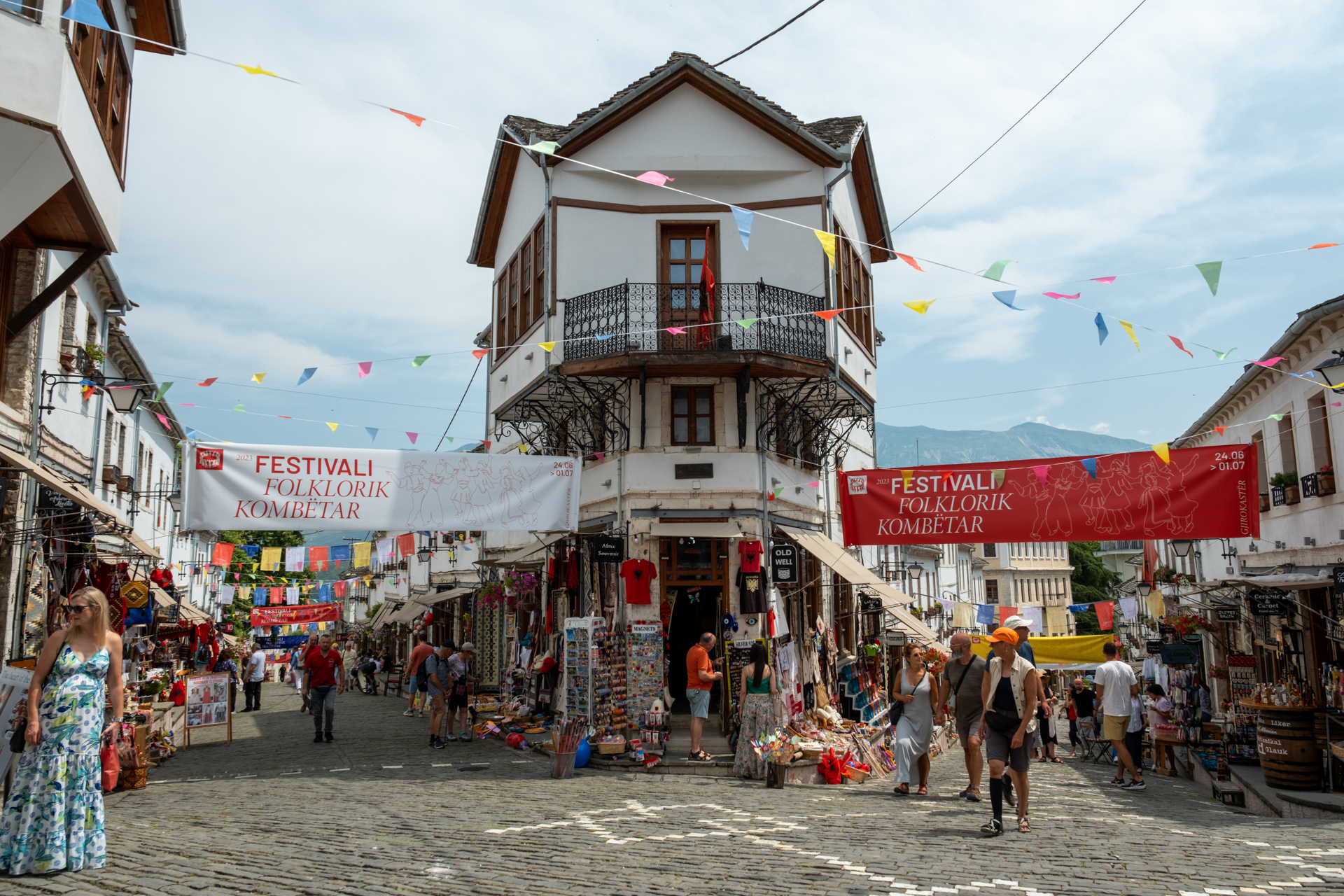
The sun above our heads burned with the same intensity as its Greek counterpart, and before long we gathered ourselves and wandered through the clean cobbled lanes of the old bazaar, where the projecting upper floors offered a little shade and relief to our sweating skulls.
The urban landscape offered an image familiar to our eyes, strongly recalling Kastoria, Siatista, and the stone-roofed villages of Epirus. The air carried the lament of Epirus like a distant reminder, while, in contrast, the colourful goods of the market spoke of the flattening universality dictated by our consumer mania.
The good mood continued in the eyes of the bilingual waiter who served us lunch, insisting on earning our praise as reward and vindication. We rewarded both him and his plump wife with glowing comments for a meal that was truly tasty and homemade. Then we hurried on, because there was still a long road ahead.
Danis Papagiannoulis
Dimosthenis Seitaridis
Nikos Kakagias
Nikos Kakagias
Dimosthenis Seitaridis
Danis Papagiannoulis
Nikos Kakagias
Ευτύχης Τσαουσίδης
Ευτύχης Τσαουσίδης
Danis Papagiannoulis
Dimosthenis Seitaridis
Ευτύχης Τσαουσίδης
- Berat -
We first saw Berat after almost three hours of travelling along a national road that pleasantly surprised us with its quality and well-kept appearance, lined at the edges with flourishing rows of trees.
The “dark” note was the low speed limit, which the locals took care to break in every possible way, driving enormous vehicles.
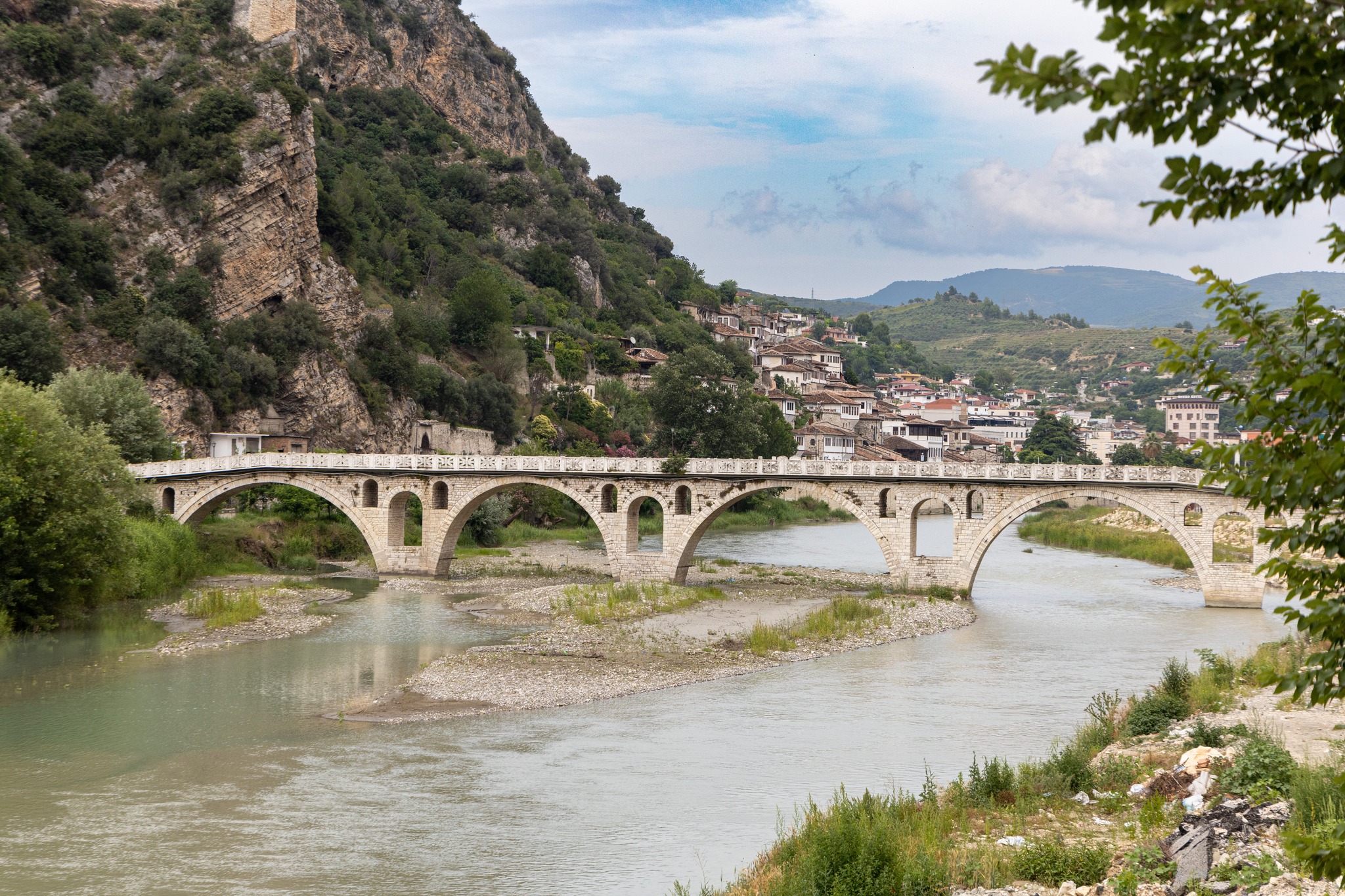
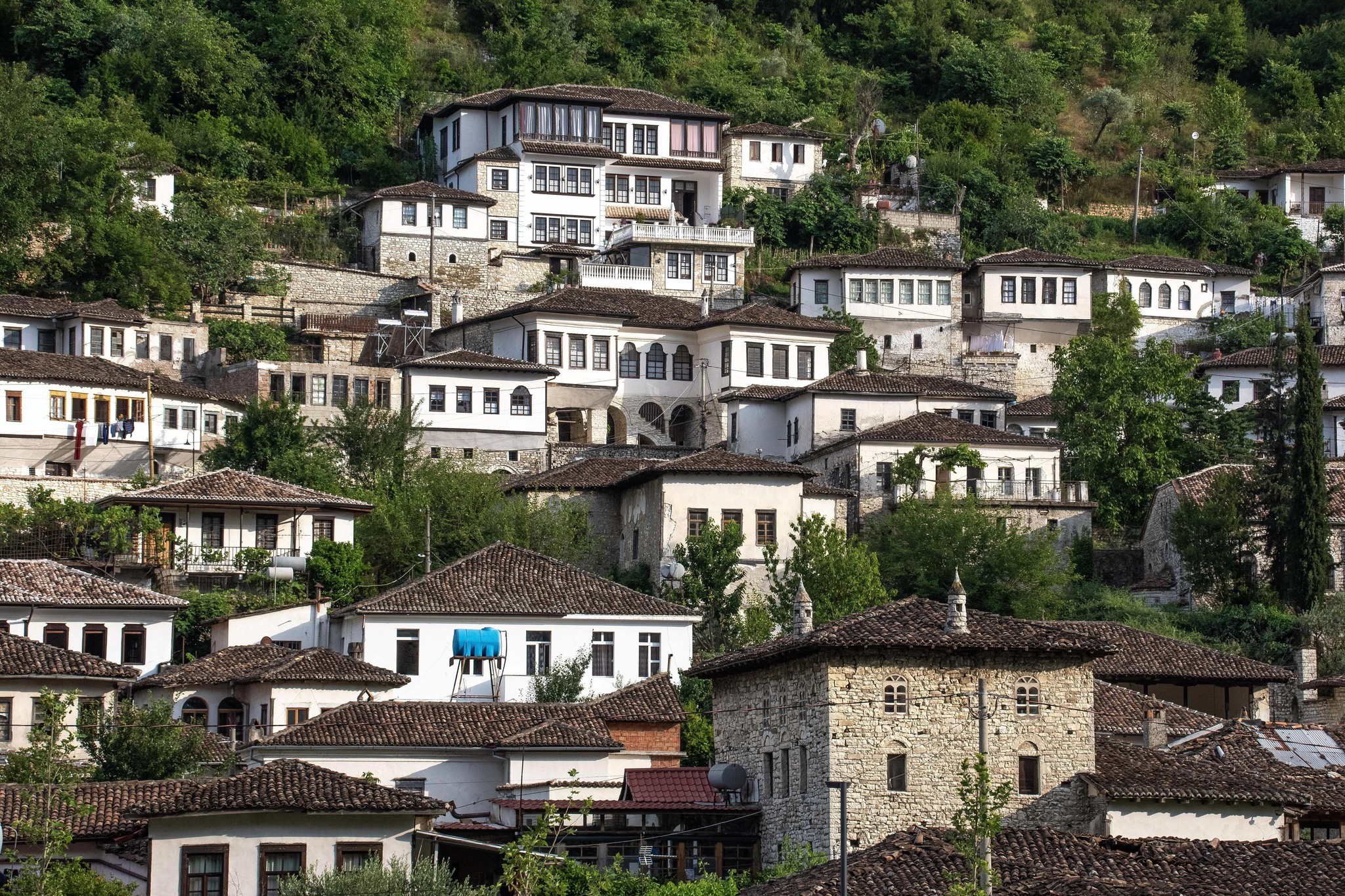
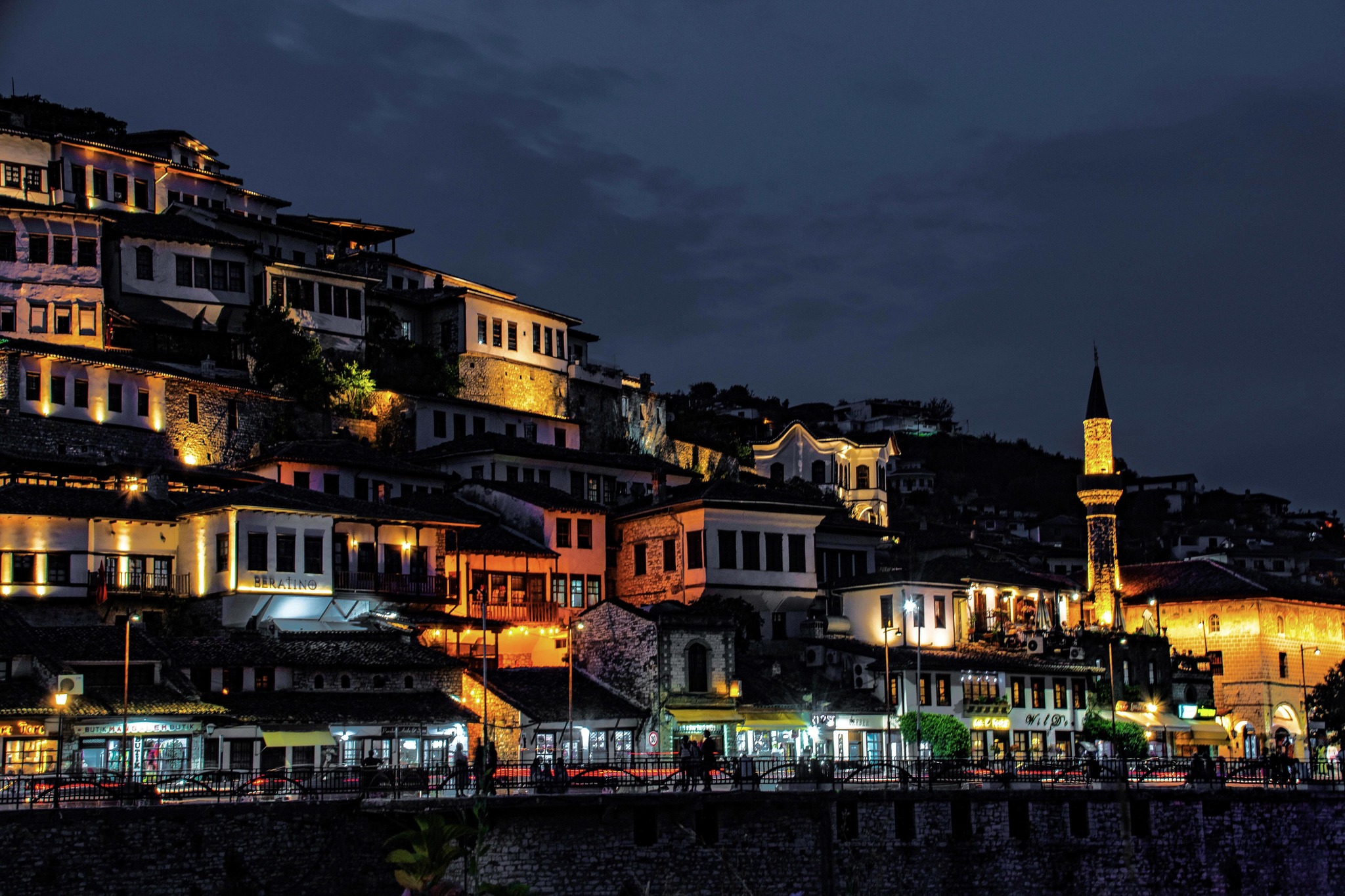
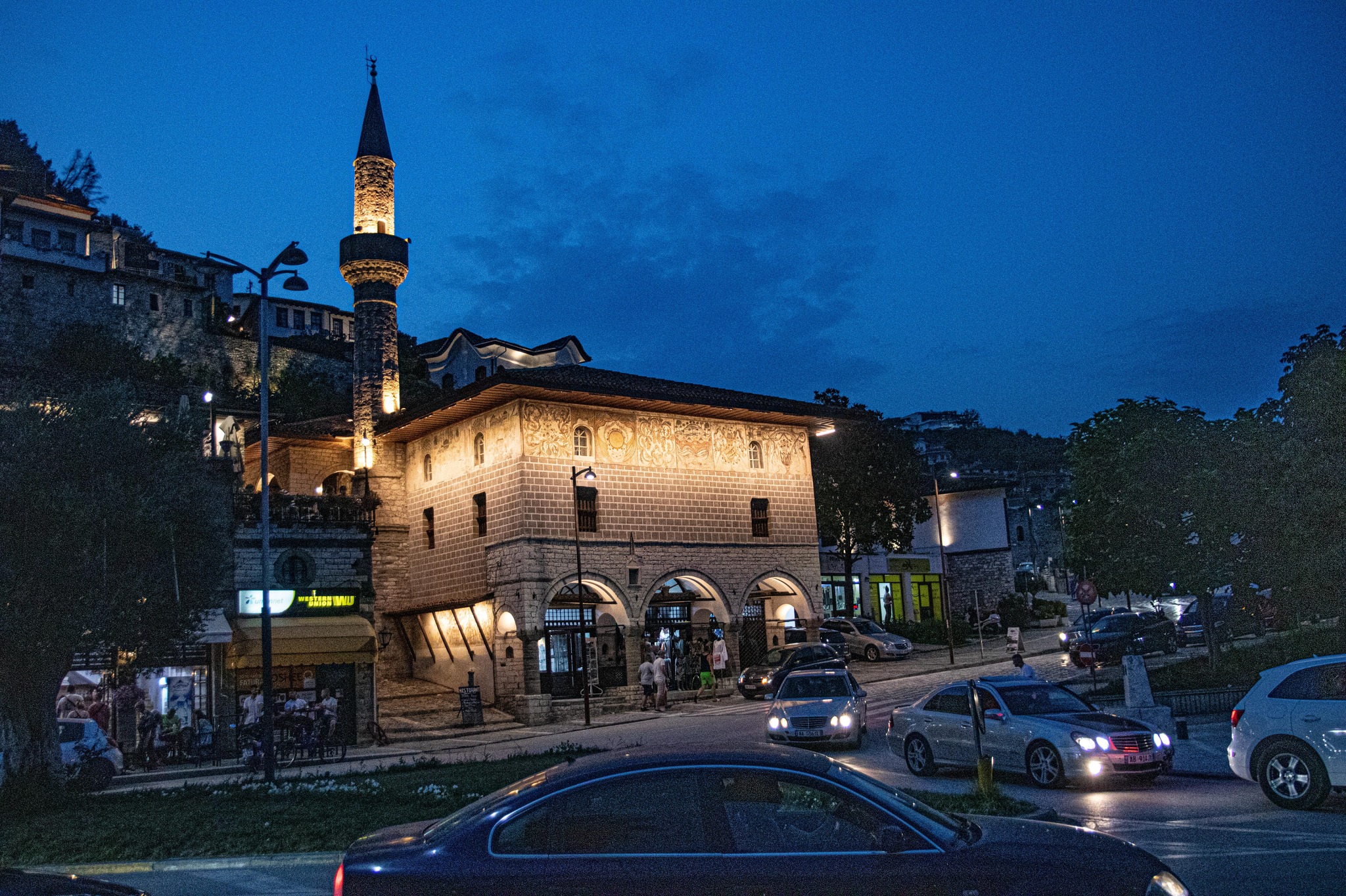
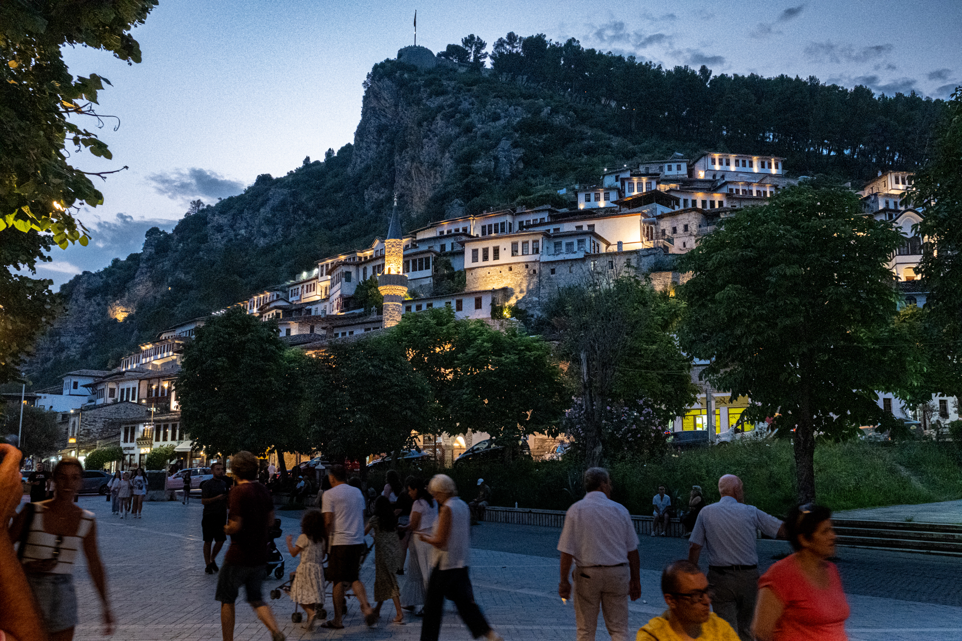
Ancient Antipatrea had passed through countless storms and conquerors in its long history before taking its present name and being declared a UNESCO World Heritage site. Its appearance, however, brought cries of admiration and flattering remarks from us.
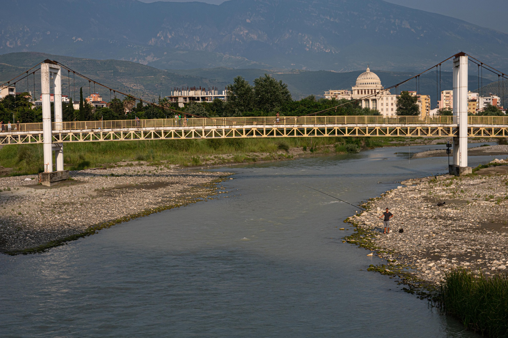
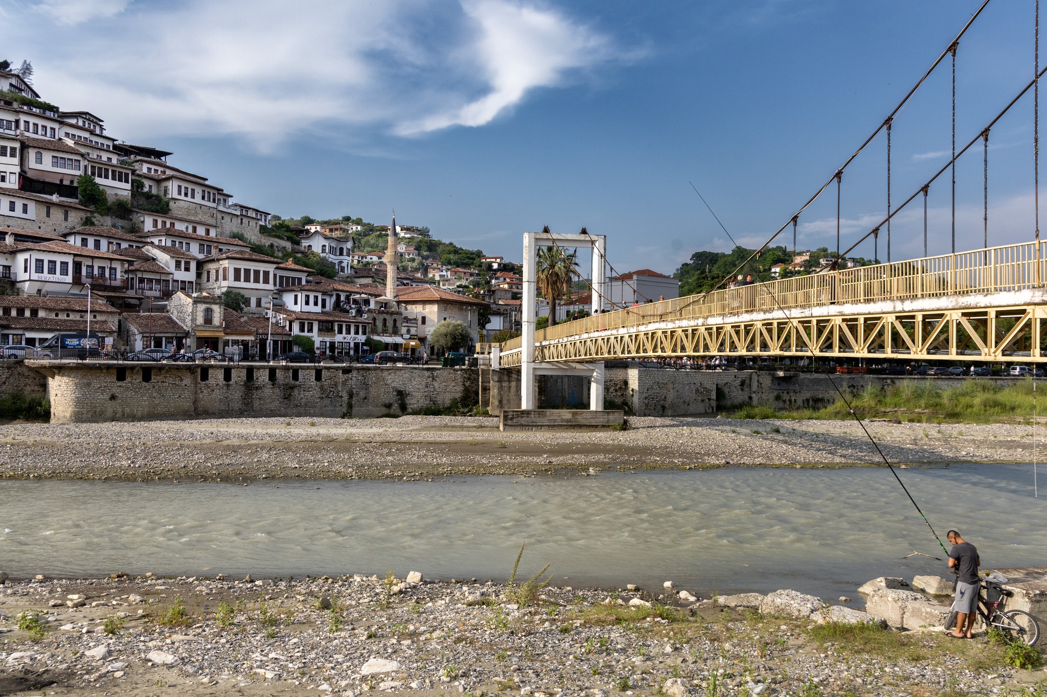
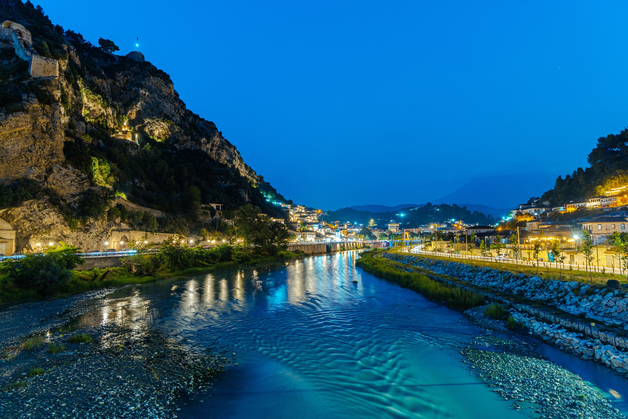
The city of a thousand windows, as it is commonly called, stretches along a bend of the Osum River, and its old part at least is built on both banks. The valley was formed like a drainage basin between two mountain ranges: Tomorr to the east and Shpirag to the west.
Legend has it that the river was formed from the tears of a beautiful woman for whose sake the two giants, still lying there threateningly to this day, killed one another. The threat of missing the sunset, however, together with our historical instincts, pushed us to leave our luggage quickly at the renovated old mansion we had chosen as lodging and take to the streets. The renovated mansions, restored under strict reconstruction rules, formed a beautiful scene, arranged amphitheatrically on the slopes of the hills on both sides of the river. The cameras fired in bursts, and the mind recorded at the same rhythm.
The sun, however, following its same monotonous course, remained entirely indifferent to our expectations. And so we completed a day full of images by capturing the reflection of the city’s traces in the slow waters of the river, before withdrawing, exhausted.
Pixelscape.gr uses cookies to ensure that provides you with the best possible navigation experience. By using the website you accept the usage of cookies. Press “Accept”, if you condone the usage of cookies.
This website uses cookies to improve your experience while you navigate through the website. Out of these, the cookies that are categorized as necessary are stored on your browser as they are essential for the working of basic functionalities of the website. We also use third-party cookies that help us analyze and understand how you use this website. These cookies will be stored in your browser only with your consent. You also have the option to opt-out of these cookies. But opting out of some of these cookies may affect your browsing experience.